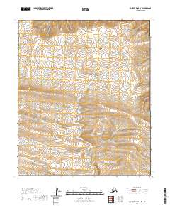
2020 Map of Lookout Ridge B-2 SW
USGS Topo · Published 2020About this map
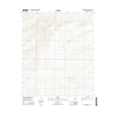
Quartzite Cr winds through the North Slope landscape, providing the primary drainage for this segment of the Arctic wilderness. The terrain is defined by the survey boundaries of t1s r21w and t1s r22w, where subtle elevation changes across the tundra dictate the flow of seasonal water. This map captures a strictly natural environment in the early 21st century, devoid of permanent settlements or infrastructure. The placement of the creek and the township lines illustrates how the U.S. Geological Survey continues to document the most distant reaches of the borough, preserving a record of the hydrography and topographic character before any significant human alteration.
Find a feature on this map
5 named features on this map. Tap any name to fly to it.
Don’t see what you’re looking for? This feature index may not catch every label — zoom into the map to look around manually.
Map Details
Editions of this 2020 Lookout Ridge B-2 SW Map
This is the sole edition of this map. No revisions or reprints were ever made.
Other maps of this area

1951 · Lookout Ridge
USGS Topo · 1:250,000

1956 · Lookout Ridge
USGS Topo · 1:250,000
1984 · Lookout Ridge A-2
USGS Topo · 1:63,360
1984 · Lookout Ridge A-3
USGS Topo · 1:63,360
1985 · Lookout Ridge B-2
USGS Topo · 1:63,360
1985 · Lookout Ridge B-3
USGS Topo · 1:63,360
2013 · Lookout Ridge B-3 NE
USGS Topo · 1:25,000
2015 · Lookout Ridge B-3 SE
USGS Topo · 1:25,000
2016 · Lookout Ridge B-2 SW
USGS Topo · 1:25,000
2016 · Lookout Ridge B-2 SE
USGS Topo · 1:25,000