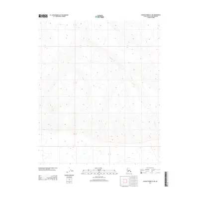
2013 Map of Lookout Ridge B-3 NE
USGS Topo · Published 2013About this map
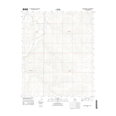
Pahron Cr winds through the interior of the North Slope in this 2013 topographic study. The landscape is defined by the shifting elevations of Lookout Ridge, where the drainage patterns of small tributaries reflect the underlying geology of this subarctic terrain. The map meticulously records the intersection of township and range lines, including R 23 W and R 22 W, which provide the primary spatial framework for this unpopulated section of the Arctic. Without permanent settlements or roads, the physical contours and the course of the creek serve as the only landmarks for navigation and land management. This survey offers a precise record of the remote topography before further geological or environmental shifts alter these high-latitude drainages.
Find a feature on this map
4 named features on this map. Tap any name to fly to it.
Don’t see what you’re looking for? This feature index may not catch every label — zoom into the map to look around manually.
Map Details
Editions of this 2013 Lookout Ridge B-3 NE Map
This is the sole edition of this map. No revisions or reprints were ever made.
Other maps of this area

1951 · Lookout Ridge
USGS Topo · 1:250,000

1956 · Lookout Ridge
USGS Topo · 1:250,000
1985 · Lookout Ridge B-2
USGS Topo · 1:63,360
1985 · Lookout Ridge C-3
USGS Topo · 1:63,360
1985 · Lookout Ridge C-2
USGS Topo · 1:63,360
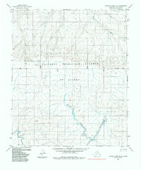
1985 · Lookout Ridge B-3
USGS Topo · 1:63,360
2015 · Lookout Ridge B-3 SW
USGS Topo · 1:25,000
2015 · Lookout Ridge C-2 SW
USGS Topo · 1:25,000
2015 · Lookout Ridge B-3 NW
USGS Topo · 1:25,000
2015 · Lookout Ridge C-3 SE
USGS Topo · 1:25,000