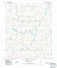
1985 Map of Lookout Ridge C-3
USGS Topo · Published 1985About this map
Meade River meanders sharply across this portion of the North Slope, defining the drainage patterns of a landscape largely untouched by permanent settlement. Within the expansive National Petroleum Reserve in Alaska, the topography is dominated by subtle rises such as Shaningarok Ridge and Kulugra Ridge. These features provide the only significant relief in a region of permafrost and tundra. Transportation at the time of this 1985 edit was limited to seasonal routes, evidenced by the scattered Tractor Trail segments that navigate the complex bends of Shaningarok Creek and Pahrou Creek. The map illustrates a transitional period of resource exploration, where modern aerial photogrammetry was used to document a wilderness that remained accessible primarily by specialized vehicles following traditional overland paths.
Find a feature on this map
13 named features on this map. Tap any name to fly to it.
Don’t see what you’re looking for? This feature index may not catch every label — zoom into the map to look around manually.
Map Details
Editions of this 1985 Lookout Ridge C-3 Map
This is the sole edition of this map. No revisions or reprints were ever made.
Other maps of this area

1951 · Lookout Ridge
USGS Topo · 1:250,000

1956 · Lookout Ridge
USGS Topo · 1:250,000
1984 · Lookout Ridge D-4
USGS Topo · 1:63,360
1984 · Lookout Ridge D-2
USGS Topo · 1:63,360

1984 · Lookout Ridge D-3
USGS Topo · 1:63,360
1984 · Lookout Ridge C-4
USGS Topo · 1:63,360
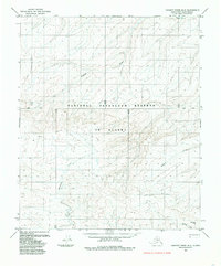
1985 · Lookout Ridge B-2
USGS Topo · 1:63,360
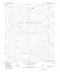
1985 · Lookout Ridge C-2
USGS Topo · 1:63,360
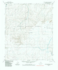
1985 · Lookout Ridge B-4
USGS Topo · 1:63,360
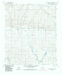
1985 · Lookout Ridge B-3
USGS Topo · 1:63,360