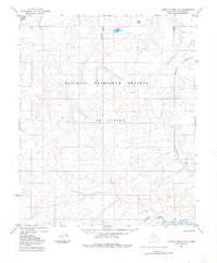
1985 Map of Lookout Ridge C-2
USGS Topo · Published 1985About this map
The National Petroleum Reserve in Alaska dominates this 1980s landscape, illustrating a remote stretch of the North Slope defined by its complex hydrological network. Significant watercourses including the Meade River, Usuktuk River, Topagoruk River, and Titaluk River wind across the terrain, creating a series of intricate drainage patterns across the tundra. Evidence of human transit is sparse but notable through the presence of a Tractor Trail, which provides a rare landmark of ground-based movement in an otherwise roadless expanse. This survey, mapped using photogrammetric methods from 1971 aerial photographs, captures the region at a time of increased interest in the petroleum reserves, recording the untouched character of the subarctic rivers before more modern infrastructure could alter the surface drainage.
Find a feature on this map
6 named features on this map. Tap any name to fly to it.
Don’t see what you’re looking for? This feature index may not catch every label — zoom into the map to look around manually.
Map Details
Editions of this 1985 Lookout Ridge C-2 Map
This is the sole edition of this map. No revisions or reprints were ever made.
Other maps of this area

1951 · Lookout Ridge
USGS Topo · 1:250,000

1956 · Lookout Ridge
USGS Topo · 1:250,000
1984 · Lookout Ridge D-1
USGS Topo · 1:63,360
1984 · Lookout Ridge D-2
USGS Topo · 1:63,360

1984 · Lookout Ridge D-3
USGS Topo · 1:63,360
1985 · Lookout Ridge B-2
USGS Topo · 1:63,360
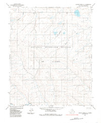
1985 · Lookout Ridge C-1
USGS Topo · 1:63,360
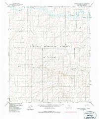
1985 · Lookout Ridge B-1
USGS Topo · 1:63,360
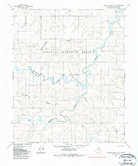
1985 · Lookout Ridge C-3
USGS Topo · 1:63,360
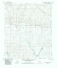
1985 · Lookout Ridge B-3
USGS Topo · 1:63,360