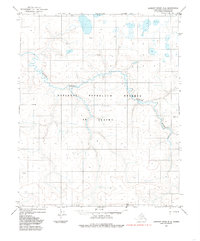
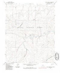
1984 Map of Lookout Ridge D-4
USGS Topo · Published 1985About this map
National Petroleum Reserve in Alaska dominates this 1980s landscape, representing a vast Arctic expanse defined by complex water systems and survey markers. The Avalik River meanders across the territory, illustrating the intricate drainage patterns of the North Slope. Named topographic points such as Kieth, Omega, Omicron, and Sigma serve as critical reference landmarks in an environment largely devoid of permanent settlements or infrastructure. Based on aerial photography from 1971, the map provides a precise record of the shoreline and swamp distributions before later environmental shifts, offering a baseline for researchers studying Arctic hydrology and land management boundaries within the reserve.
Find a feature on this map
12 named features on this map. Tap any name to fly to it.
Don’t see what you’re looking for? This feature index may not catch every label — zoom into the map to look around manually.
Map Details
Editions of this 1984 Lookout Ridge D-4 Map
This is the sole edition of this map. No revisions or reprints were ever made.
Other maps of this area

1951 · Meade River
USGS Topo · 1:250,000

1951 · Lookout Ridge
USGS Topo · 1:250,000

1955 · Meade River
USGS Topo · 1:250,000

1955 · Meade River A-3
USGS Topo · 1:63,360
1955 · Meade River A-4
USGS Topo · 1:63,360
1955 · Meade River A-5
USGS Topo · 1:63,360

1956 · Lookout Ridge
USGS Topo · 1:250,000
1984 · Lookout Ridge D-5
USGS Topo · 1:63,360
1984 · Lookout Ridge C-5
USGS Topo · 1:63,360

1984 · Lookout Ridge D-3
USGS Topo · 1:63,360