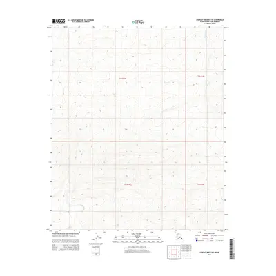
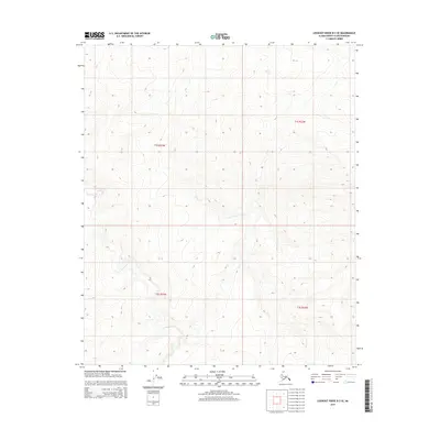
2015 Map of Lookout Ridge B-3 SW
USGS Topo · Published 2015About this map
Discovery Cr flows through the northeast corner of this remote Alaskan terrain, winding between the townships of T1s R23w and T1s R24w. The landscape is defined by the Public Land Survey System grid, which divides this part of the North Slope into large tracts including T2s R23w and T2s R24w. This 2015 study by the U.S. Geological Survey and the Bureau of Land Management captures a high-latitude wilderness before modern industrial footprints, focusing on the natural topography and the few drainage features that mark this interior region. The map provides a detailed view of elevation and hydrography in a section of the state where human infrastructure remains nearly absent, leaving the primary geographical markers to be the survey lines and the natural course of the water.
Find a feature on this map
5 named features on this map. Tap any name to fly to it.
Don’t see what you’re looking for? This feature index may not catch every label — zoom into the map to look around manually.
Map Details
Editions of this 2015 Lookout Ridge B-3 SW Map
This is the sole edition of this map. No revisions or reprints were ever made.
Other maps of this area

1951 · Lookout Ridge
USGS Topo · 1:250,000

1956 · Lookout Ridge
USGS Topo · 1:250,000
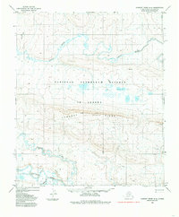
1984 · Lookout Ridge A-4
USGS Topo · 1:63,360
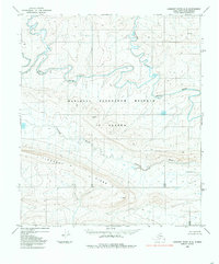
1984 · Lookout Ridge A-3
USGS Topo · 1:63,360
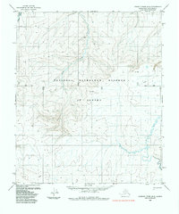
1985 · Lookout Ridge B-4
USGS Topo · 1:63,360
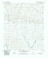
1985 · Lookout Ridge B-3
USGS Topo · 1:63,360
2013 · Lookout Ridge B-3 NE
USGS Topo · 1:25,000
2015 · Lookout Ridge B-3 NW
USGS Topo · 1:25,000
2015 · Lookout Ridge A-3 NW
USGS Topo · 1:25,000
2015 · Lookout Ridge B-3 SE
USGS Topo · 1:25,000