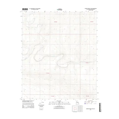
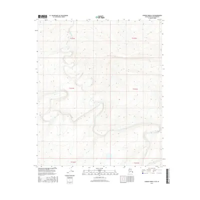
2015 Map of Lookout Ridge A-3 NW
USGS Topo · Published 2015About this map
The Awuna River meanders through the heart of this North Slope landscape, carving a low-elevation valley through the extensive township and range grids of the Arctic wilderness. This 2015 U.S. Geological Survey representation of the Lookout Ridge A-3 NW quadrangle highlights the complex drainage patterns of the Colville River basin, where the water forms tight oxbows and wide floodplains. In the southern reaches of the sheet, the Lookout River begins its course, marking a transition in the local topography. This map serves as a precise record of the hydrological state of the North Slope Borough prior to modern shifts in permafrost and drainage, documenting a portion of the National Petroleum Reserve in Alaska during the early 21st century.
Find a feature on this map
8 named features on this map. Tap any name to fly to it.
Don’t see what you’re looking for? This feature index may not catch every label — zoom into the map to look around manually.
Map Details
Editions of this 2015 Lookout Ridge A-3 NW Map
This is the sole edition of this map. No revisions or reprints were ever made.
Other maps of this area

1951 · Lookout Ridge
USGS Topo · 1:250,000

1956 · Lookout Ridge
USGS Topo · 1:250,000
1984 · Lookout Ridge A-4
USGS Topo · 1:63,360
1984 · Lookout Ridge A-3
USGS Topo · 1:63,360
1985 · Lookout Ridge B-4
USGS Topo · 1:63,360
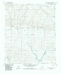
1985 · Lookout Ridge B-3
USGS Topo · 1:63,360
2015 · Lookout Ridge B-3 SW
USGS Topo · 1:25,000
2015 · Lookout Ridge B-3 SE
USGS Topo · 1:25,000
2016 · Lookout Ridge A-3 SW
USGS Topo · 1:25,000
2016 · Lookout Ridge A-3 NE
USGS Topo · 1:25,000