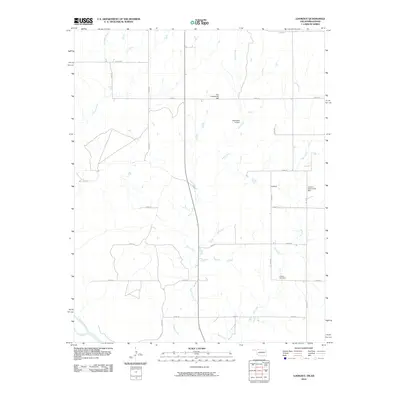
2010 Map of Lookout
USGS Topo · Published 2010About this map
The Cimarron River winds through the southwestern corner of this northwestern Oklahoma landscape, anchoring a region of prairie drainages and rural crossroads. The settlement of Lookout serves as the focal point for local history researchers, supported by community gathering places such as Lookout Community Hall and Coy Community Hall. These sites, along with the Lookout Cemetery, reflect the social and ancestral geography of Harper County at the start of the 21st century.
Find a feature on this map
22 named features on this map. Tap any name to fly to it.
Don’t see what you’re looking for? This feature index may not catch every label — zoom into the map to look around manually.
Map Details
Editions of this 2010 Lookout Map
This is the sole edition of this map. No revisions or reprints were ever made.
Other maps of this area

1892 · Coldwater
USGS Topo · 1:125,000

1955 · Woodward
USGS Topo · 1:250,000

1955 · Pratt
USGS Topo · 1:250,000

1958 · Woodward
USGS Topo · 1:250,000

1959 · Pratt
USGS Topo · 1:250,000

1970 · Lookout
USGS Topo · 1:24,000

1970 · Freedom NW
USGS Topo · 1:24,000

1970 · Edith
USGS Topo · 1:24,000

1970 · Selman NW
USGS Topo · 1:24,000

1971 · Selman SE
USGS Topo · 1:24,000