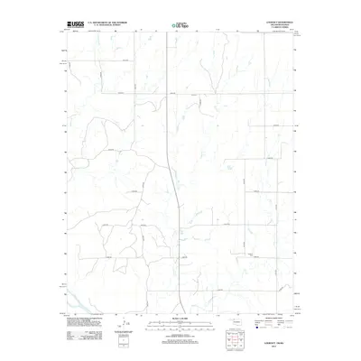
2012 Map of Lookout
USGS Topo · Published 2012About this map
Coy Cem and Lookout Cem stand as quiet markers of rural heritage in this pocket of Harper County, where the southern plains meet the Kansas border. The landscape is defined by the drainage of several winding waterways, including Anderson Cr, Keno Cr, and Day Cr, all making their way toward the broad valley of the Cimarron River in the southwestern corner. The map reveals a strictly organized grid of sectional roads, such as e0030 RD and n2090 RD, which facilitate movement through the open cattle country and agricultural fields. This network of unpaved and improved routes reflects the sparse, enduring settlement pattern characteristic of the High Plains in the early twenty-first century.
Find a feature on this map
21 named features on this map. Tap any name to fly to it.
Don’t see what you’re looking for? This feature index may not catch every label — zoom into the map to look around manually.
Map Details
Editions of this 2012 Lookout Map
This is the sole edition of this map. No revisions or reprints were ever made.
Other maps of this area

1892 · Coldwater
USGS Topo · 1:125,000

1955 · Woodward
USGS Topo · 1:250,000

1955 · Pratt
USGS Topo · 1:250,000

1958 · Woodward
USGS Topo · 1:250,000

1959 · Pratt
USGS Topo · 1:250,000

1970 · Lookout
USGS Topo · 1:24,000

1970 · Freedom NW
USGS Topo · 1:24,000

1970 · Edith
USGS Topo · 1:24,000

1970 · Selman NW
USGS Topo · 1:24,000

1971 · Selman SE
USGS Topo · 1:24,000