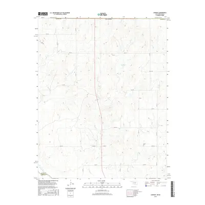
2016 Map of Lookout
USGS Topo · Published 2016About this map
The Oklahoma borderlands near the Cimarron River are defined by a high-plains landscape of rolling divides and deep drainage cuts. Lookout serves as the primary landmark in this rural expanse, situated along a network of section-line roads like Latimer Rd and Kiowa Rd that partition the landscape for ranching and agriculture. The map provides essential data for genealogists tracing family roots in Harper and Woods counties, specifically identifying the Lookout Cem and Coy Cem as key historical burial sites. Water management is evident through features like the Schroeder ja Reservoir, while natural waterways including Keno Cr and Anderson Cr carve through the terrain. This document reflects the enduring settlement patterns of the Oklahoma Panhandle fringe, where the infrastructure remains centered on wide-spaced homesteads and small community hubs.
Find a feature on this map
26 named features on this map. Tap any name to fly to it.
Don’t see what you’re looking for? This feature index may not catch every label — zoom into the map to look around manually.
Map Details
Editions of this 2016 Lookout Map
This is the sole edition of this map. No revisions or reprints were ever made.
Other maps of this area

1892 · Coldwater
USGS Topo · 1:125,000

1955 · Woodward
USGS Topo · 1:250,000

1955 · Pratt
USGS Topo · 1:250,000

1958 · Woodward
USGS Topo · 1:250,000

1959 · Pratt
USGS Topo · 1:250,000

1970 · Lookout
USGS Topo · 1:24,000

1970 · Freedom NW
USGS Topo · 1:24,000

1970 · Edith
USGS Topo · 1:24,000

1970 · Selman NW
USGS Topo · 1:24,000

1971 · Selman SE
USGS Topo · 1:24,000