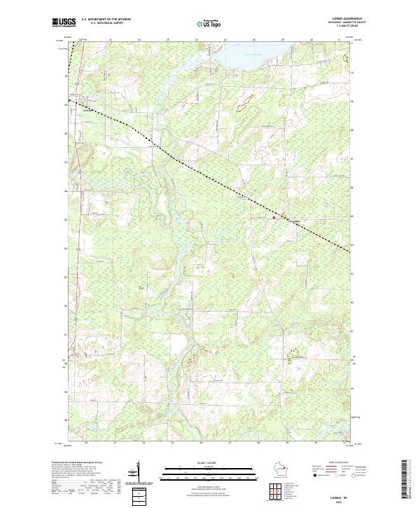
2022 Map of Loomis
USGS Topo · Published 2022About this map
Peshtigo River meanders sharply through this Marinette County landscape, creating a complex series of oxbows and wetlands as it flows southward. The village of Crivitz occupies the northwest corner, serving as a gateway to the region's water resources, while the smaller settlement of Loomis is situated further east. This modern survey reflects the modern road network, including Old Hwy 141 and Saint Paul Rd, which navigate the township lines of T32N and T31N.
Find a feature on this map
63 named features on this map. Tap any name to fly to it.
Don’t see what you’re looking for? This feature index may not catch every label — zoom into the map to look around manually.
Map Details
Editions of this 2022 Loomis Map
This is the sole edition of this map. No revisions or reprints were ever made.
Other maps of this area

1939 · Porterfield
USGS Topo · 1:48,000

1940 · Athelstane
USGS Topo · 1:48,000

1941 · Coleman
USGS Topo · 1:48,000

1942 · Athelstane
USGS Topo · 1:48,000

1942 · Coleman
USGS Topo · 1:48,000

1942 · Porterfield
USGS Topo · 1:48,000

1942 · Wausaukee
USGS Topo · 1:48,000

1947 · Wausaukee
USGS Topo · 1:48,000

1950 · Coleman
USGS Topo · 1:48,000

1954 · Iron Mountain
USGS Topo · 1:250,000