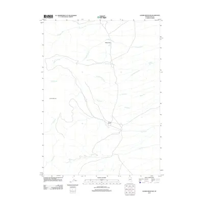
2012 Map of Loomis Mountain
USGS Topo · Published 2012About this map
Schoer Place and Loomis Pasture anchor this high-desert ranching landscape in northern Nevada, where water sources dictate the placement of human activity. The terrain is defined by the prominent Loomis Mountain and a complex drainage system feeding into the Humboldt River basin. A dense network of seasonal and perennial waterways, including Cold Springs Creek, North Fork Willow Creek, and South Fork Willow Creek, cross the topography. Several isolated water points like Cold Spring and Willow Springs are vital landmarks in this arid environment. The map details a typical Great Basin land-use pattern, where named pastures and family-held places signify the localized centers of a remote livestock-driven economy. Extensive drainages such as Loomis Creek and Pole Creek carve through the basin, illustrating the fundamental relationship between local hydrology and the high-elevation range.
Find a feature on this map
13 named features on this map. Tap any name to fly to it.
Don’t see what you’re looking for? This feature index may not catch every label — zoom into the map to look around manually.
Map Details
Editions of this 2012 Loomis Mountain Map
This is the sole edition of this map. No revisions or reprints were ever made.
Other maps of this area

1955 · Wells
USGS Topo · 1:250,000

1958 · Wells
USGS Topo · 1:250,000

1961 · Wells
USGS Topo · 1:250,000

1967 · Black Butte
USGS Topo · 1:24,000

1967 · Black Butte NE
USGS Topo · 1:24,000

1968 · Wilkins
USGS Topo · 1:24,000

1968 · Melandco
USGS Topo · 1:24,000

1968 · Summer Camp
USGS Topo · 1:24,000
1968 · Loomis Mtn
USGS Topo · 1:24,000
1968 · Harris Canyon
USGS Topo · 1:24,000