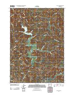
2011 Map of Loon Lake
USGS Topo · Published 2011About this map
Loon Lake and the surrounding drainages of the Oregon Coast Range define this landscape as it appeared in the early 21st century. The topographic data captures a network of forestry and access roads, including Loon Lake Road and Umpqua Ridge Road, which serve the small communities of Ash Valley and Ash. This region is characterized by steep drainage basins and prominent landmarks like Beehive Rock and Saint Patricks Rock, which rise above the water's edge.
Find a feature on this map
32 named features on this map. Tap any name to fly to it.
Don’t see what you’re looking for? This feature index may not catch every label — zoom into the map to look around manually.
Map Details
Editions of this 2011 Loon Lake Map
This is the sole edition of this map. No revisions or reprints were ever made.
Other maps of this area

1928 · Sitkum
USGS Topo · 1:125,000

1955 · Scottsburg
USGS Topo · 1:62,500

1955 · Ivers Peak
USGS Topo · 1:62,500

1955 · Tyee
USGS Topo · 1:62,500

1955 · Elkton
USGS Topo · 1:62,500

1958 · Roseburg
USGS Topo · 1:250,000

1959 · Roseburg
USGS Topo · 1:250,000

1979 · Roseburg
USGS Topo · 1:100,000

1979 · Cottage Grove
USGS Topo · 1:100,000
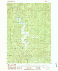
1985 · Loon Lake
USGS Topo · 1:24,000