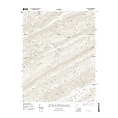
2016 Map of Looneys Gap
USGS Topo · Published 2016About this map
Clinch Mountain and the Clinch River dominate this borderland where Virginia and Tennessee meet. The landscape is defined by the steep, parallel ridges of the North Fork Knobs and River Knobs, with settlements like Big Springs and Independence tucked into the lower-lying valleys. Numerous family cemeteries are scattered across the terrain, including the Sizemore Cem, Moneyhun Cem, and Frazier Sloan Cem, providing valuable data for genealogical research in Hancock and Scott counties. The drainage patterns of War Cr and Willis Cr dictate the local road network, while features like Rodgers Shoals and Hortons Island mark the river's path. This area represents a classic Appalachian ridge-and-valley settlement pattern, where small communities like Robinette and Dona grew along established gaps and watercourses.
Find a feature on this map
129 named features on this map. Tap any name to fly to it.
Don’t see what you’re looking for? This feature index may not catch every label — zoom into the map to look around manually.
Map Details
Editions of this 2016 Looneys Gap Map
This is the sole edition of this map. No revisions or reprints were ever made.
Other maps of this area

1883 · Morristown
USGS Topo · 1:125,000

1887 · Jonesville
USGS Topo · 1:125,000

1891 · Jonesville
USGS Topo · 1:125,000

1892 · Greeneville
USGS Topo · 1:125,000

1893 · Morristown
USGS Topo · 1:125,000

1894 · Estillville
USGS Topo · 1:125,000

1895 · Morristown
USGS Topo · 1:125,000

1896 · Greeneville
USGS Topo · 1:125,000

1904 · Greeneville
USGS Topo · 1:125,000

1935 · Surgoinsville
USGS Topo · 1:48,000