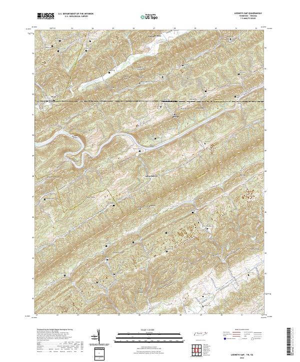
2022 Map of Looneys Gap
USGS Topo · Published 2022About this map
Clinch Mountain and the parallel Copper Ridge dominate this section of the Tennessee-Virginia borderlands, creating a landscape of repeating ridges and narrow fertile valleys. The map illustrates a complex network of upland family cemeteries, such as the Sizemore Cem, Moneyhun Cem, and the Patton McConnell Cem, which are scattered along the slopes of Poor Valley and Caney Valley. These small burial sites often represent the only remaining identifiers of the early settler families who carved out homesteads in the hollows. The Clinch River meanders through the central terrain, punctuated by features like Rodgers Shoals and Hortons Island, while the North Fork Clinch River cuts through the northern portion of the sheet. Small commerce and community hubs are represented by locations like Jennings Store and the settlement of Independence, positioned near the historic pass at Looneys Gap.
Find a feature on this map
146 named features on this map. Tap any name to fly to it.
Don’t see what you’re looking for? This feature index may not catch every label — zoom into the map to look around manually.
Map Details
Editions of this 2022 Looneys Gap Map
This is the sole edition of this map. No revisions or reprints were ever made.
Other maps of this area

1883 · Morristown
USGS Topo · 1:125,000

1887 · Jonesville
USGS Topo · 1:125,000

1891 · Jonesville
USGS Topo · 1:125,000

1892 · Greeneville
USGS Topo · 1:125,000

1893 · Morristown
USGS Topo · 1:125,000

1894 · Estillville
USGS Topo · 1:125,000

1895 · Morristown
USGS Topo · 1:125,000

1896 · Greeneville
USGS Topo · 1:125,000

1904 · Greeneville
USGS Topo · 1:125,000

1935 · Surgoinsville
USGS Topo · 1:48,000