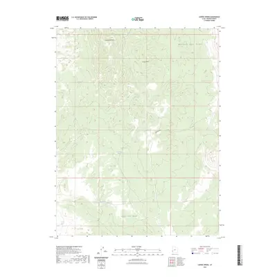
2023 Map of Lopers Spring
USGS Topo · Published 2023About this map
The Mountain Home Range and Indian Peak Range dominate this high-desert landscape in Beaver County, Utah. The terrain is defined by a series of critical water sources that would have been essential for early western surveyors and livestock operations, including Lopers Spring, Cougar Spring, and the clustered North Sulphur Spring, Sulphur Spring, and South Sulphur Spring. These springs are often found at the edge of significant drainage systems like Cottonwood Wash and Jackson Wash. The presence of named features such as Spike Hollow and Cowboy Spring suggests a history of local land use and transit through these high basins. This recent survey by the U.S. Geological Survey provides a precise topographic record of the gaps and peaks that characterize this part of the Great Basin.
Find a feature on this map
13 named features on this map. Tap any name to fly to it.
Don’t see what you’re looking for? This feature index may not catch every label — zoom into the map to look around manually.
Map Details
Editions of this 2023 Lopers Spring Map
This is the sole edition of this map. No revisions or reprints were ever made.
Other maps of this area

1953 · Richfield
USGS Topo · 1:250,000

1956 · Lund
USGS Topo · 1:250,000

1958 · Richfield
USGS Topo · 1:250,000

1960 · Lund
USGS Topo · 1:250,000

1971 · Mountain Home Pass
USGS Topo · 1:24,000

1971 · Halfway Summit
USGS Topo · 1:24,000

1971 · Sawtooth Peak
USGS Topo · 1:24,000

1972 · Gleason Basin
USGS Topo · 1:24,000

1972 · Hamlin Well
USGS Topo · 1:24,000

1972 · Miller Wash
USGS Topo · 1:24,000