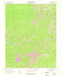
1968 Map of Lorado
USGS Topo · Published 1977About this map
Lorado and the surrounding mining settlements of the Triadelphia district define this landscape in the heart of West Virginia's coal country. Along the narrow valley of Buffalo Creek, rail lines of the Chesapeake and Ohio connect tight-knit communities like Lundale, Craneco, and Saunders. The terrain is characterized by steep ridges and deep hollows, with numerous strip mines and drill holes dotting the hillsides, reflecting the intense industrial activity of the late 1960s and 1970s.
Find a feature on this map
59 named features on this map. Tap any name to fly to it.
Don’t see what you’re looking for? This feature index may not catch every label — zoom into the map to look around manually.
Map Details
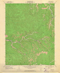
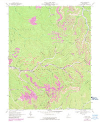
Editions of this 1968 Lorado Map
Other maps of this area

1891 · Oceana
USGS Topo · 1:125,000

1893 · Oceana
USGS Topo · 1:125,000

1898 · Oceana
USGS Topo · 1:125,000

1909 · Gilbert
USGS Topo · 1:48,000

1910 · Pineville
USGS Topo · 1:48,000

1910 · Bald Knob
USGS Topo · 1:48,000

1912 · Bald Knob
USGS Topo · 1:62,500

1912 · Gilbert
USGS Topo · 1:62,500

1912 · Pineville
USGS Topo · 1:62,500

1913 · Logan
USGS Topo · 1:62,500