2024 Map of Loreauville
USGS Topo · Published 2024About this map
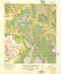
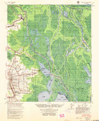
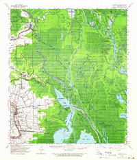
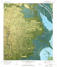
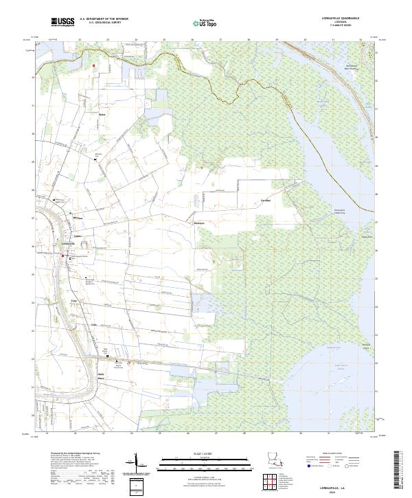
Bayou Teche defines the western edge of this landscape, anchoring a string of settlements including Loreauville, Belle Place, and Walet. The map illustrates the transition from the cultivated lands along the bayou to the expansive wetlands of the Atchafalaya Basin Floodway and Lake Fausse Pointe to the east. This watery environment is navigated via an intricate network of waterways such as the Loreauville Canal, Marshfield Canal, and Gonsoulin Canal. Local history is preserved in several prominent religious sites, such as Saint Joseph Catholic Cem and Saint John Baptist Church Cem, while the Gonsoulins Cattle Ferry provides a distinct look at the traditional agricultural practices once common in this part of Iberia Parish.
Find a feature on this map
99 named features on this map. Tap any name to fly to it.
Don’t see what you’re looking for? This feature index may not catch every label — zoom into the map to look around manually.
Map Details
Editions of this 2024 Loreauville Map
This is the sole edition of this map. No revisions or reprints were ever made.
Historical Maps of Mestayer Through Time
5 maps found