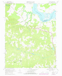
1968 Map of Loretto
USGS Topo · Published 1978About this map
The Rappahannock River dictates the geography of this northern Essex County region, where the tidal water meets complex marshlands like Drakes Marsh and Otterburn Marsh. Inland from the river's edge, the landscape is defined by a network of small agricultural settlements and historically significant ecclesiastical sites. Notable among these are Vauters Ch and Bethlehem Ch, which served established communities at Iraville and Bethlehem Fork.
Find a feature on this map
40 named features on this map. Tap any name to fly to it.
Don’t see what you’re looking for? This feature index may not catch every label — zoom into the map to look around manually.
Map Details
Editions of this 1968 Loretto Map
4 editions found
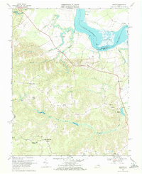
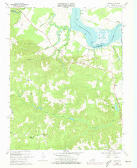
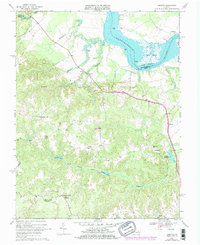
Other maps of this area

1889 · Fredericksburg
USGS Topo · 1:125,000

1892 · Fredericksburg
USGS Topo · 1:125,000

1892 · Montross
USGS Topo · 1:62,500

1894 · Fredericksburg
USGS Topo · 1:125,000

1895 · Nomini
USGS Topo · 1:125,000

1895 · Montross
USGS Topo · 1:62,500

1898 · Nomini
USGS Topo · 1:125,000

1918 · Tappahannock
USGS Topo · 1:62,500

1918 · Aylett
USGS Topo · 1:62,500

1919 · Tappahannock
USGS Topo · 1:62,500