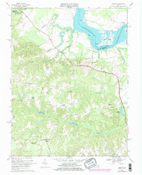
1968 Map of Loretto
USGS Topo · Published 1978About this map
The Rappahannock River defines the northern edge of this coastal plain landscape, where the transition from tidal marshland to agricultural uplands shaped the early development of Essex County. Tidewater history is centered on old landings and ecclesiastical sites, notably Vauters Ch near Iraville. The interior terrain is defined by a network of slow-moving waters such as Occupacia Creek and the Black Water Swamp, which feed into larger repositories like Hunters Millpond and Spindle Pond. Settlements such as Loretto, Farmers Fork, and Hustle are linked by a road system that historically connected these rural hubs to the river economy. Along the riverbank, the presence of Saunders Wharf and the extensive Drakes Marsh illustrates the era's reliance on both maritime access and the natural resources of the bay's tributaries.
Find a feature on this map
39 named features on this map. Tap any name to fly to it.
Don’t see what you’re looking for? This feature index may not catch every label — zoom into the map to look around manually.
Map Details
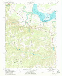
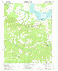
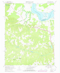
Editions of this 1968 Loretto Map
4 editions found
Other maps of this area

1889 · Fredericksburg
USGS Topo · 1:125,000

1892 · Fredericksburg
USGS Topo · 1:125,000

1892 · Montross
USGS Topo · 1:62,500

1894 · Fredericksburg
USGS Topo · 1:125,000

1895 · Nomini
USGS Topo · 1:125,000

1895 · Montross
USGS Topo · 1:62,500

1898 · Nomini
USGS Topo · 1:125,000

1918 · Tappahannock
USGS Topo · 1:62,500

1918 · Aylett
USGS Topo · 1:62,500

1919 · Tappahannock
USGS Topo · 1:62,500