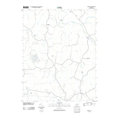
2010 Map of Loretto
USGS Topo · Published 2010About this map
Loretto anchors this part of Marion County, situated at a junction where Prather Creek and drainage from Coon Hollow flow toward the larger Pottinger Creek system. The landscape is defined by its distinctive knobs and ridges, including Rohan Knob and Backbone Ridge, which rise above the winding paths of Beech Fork and Hardins Creek. These natural features dictated the early settlement patterns and the placement of long-standing community centers like Nerinx and Greenbrier.
Find a feature on this map
55 named features on this map. Tap any name to fly to it.
Don’t see what you’re looking for? This feature index may not catch every label — zoom into the map to look around manually.
Map Details
Editions of this 2010 Loretto Map
This is the sole edition of this map. No revisions or reprints were ever made.
Other maps of this area

1949 · Cravens
USGS Topo · 1:24,000

1949 · Shepherdsville
USGS Topo · 1:62,500

1953 · Howardstown
USGS Topo · 1:24,000

1953 · Loretto
USGS Topo · 1:24,000

1953 · Maud
USGS Topo · 1:24,000

1953 · Saint Catharine
USGS Topo · 1:24,000

1953 · Bardstown
USGS Topo · 1:24,000

1953 · New Haven
USGS Topo · 1:24,000

1953 · Raywick
USGS Topo · 1:24,000

1953 · Lebanon West
USGS Topo · 1:24,000