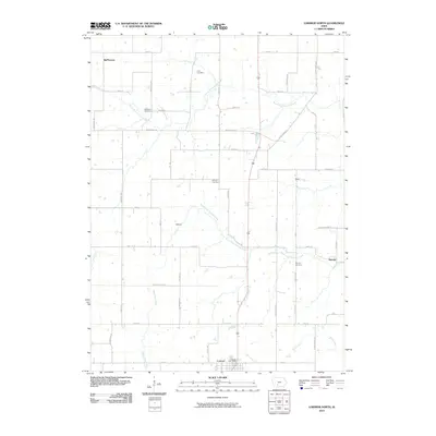
2010 Map of Lorimor North
USGS Topo · Published 2010About this map
Lorimor sits at the southern edge of this Madison and Union County landscape, where the Lorimor Post Office serves as a central landmark for the surrounding rural townships. The area is defined by the winding paths of the North Fork Clanton Creek and South Fork Clanton Creek, which drain a countryside dotted with small historic settlements like Kasson, Gear, and Barney. These small clusters of buildings, often located at key road intersections, represent the enduring agricultural community structure of south-central Iowa.
Find a feature on this map
53 named features on this map. Tap any name to fly to it.
Don’t see what you’re looking for? This feature index may not catch every label — zoom into the map to look around manually.
Map Details
Editions of this 2010 Lorimor North Map
This is the sole edition of this map. No revisions or reprints were ever made.
Other maps of this area

1951 · Osceola
USGS Topo · 1:62,500

1951 · St. Charles
USGS Topo · 1:62,500

1951 · Afton
USGS Topo · 1:62,500

1952 · Winterset
USGS Topo · 1:62,500

1954 · Omaha
USGS Topo · 1:250,000

1954 · Des Moines
USGS Topo · 1:250,000

1956 · Des Moines
USGS Topo · 1:250,000

1957 · Des Moines
USGS Topo · 1:250,000

1957 · Omaha
USGS Topo · 1:250,000

1958 · Omaha
USGS Topo · 1:250,000