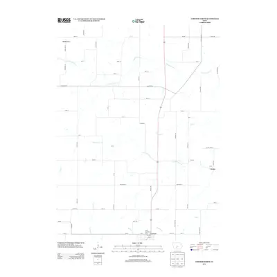
2013 Map of Lorimor North
USGS Topo · Published 2013About this map
Lorimor sits at the southern edge of this landscape, serving as a primary hub where the local road network converges. The terrain is defined by the intricate branching of the Clanton Creek system, specifically N Fork Clanton Cr and S Fork Clanton Cr, which carve through the rural countryside. These waterways, alongside Deer Cr and Fourmile Cr, historically dictated the placement of small rural outposts like McPherson, Kasson, and Barney. This survey illustrates a resilient agricultural pattern, where section roads like Macksburg Rd and Adair Union St bridge the gaps between isolated homesteads and the drainage basins of the S River. The map captures a transition where the northern headwaters give way to more established southern settlements, documenting the persistent rural infrastructure of the region.
Find a feature on this map
61 named features on this map. Tap any name to fly to it.
Don’t see what you’re looking for? This feature index may not catch every label — zoom into the map to look around manually.
Map Details
Editions of this 2013 Lorimor North Map
This is the sole edition of this map. No revisions or reprints were ever made.
Other maps of this area

1951 · Osceola
USGS Topo · 1:62,500

1951 · St. Charles
USGS Topo · 1:62,500

1951 · Afton
USGS Topo · 1:62,500

1952 · Winterset
USGS Topo · 1:62,500

1954 · Omaha
USGS Topo · 1:250,000

1954 · Des Moines
USGS Topo · 1:250,000

1956 · Des Moines
USGS Topo · 1:250,000

1957 · Des Moines
USGS Topo · 1:250,000

1957 · Omaha
USGS Topo · 1:250,000

1958 · Omaha
USGS Topo · 1:250,000