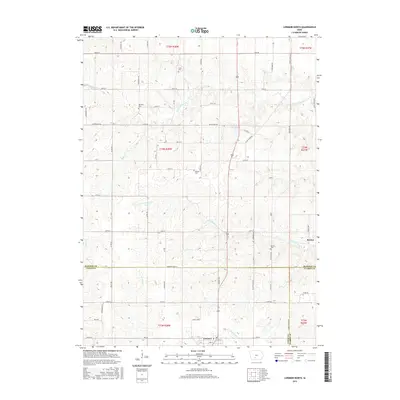
2015 Map of Lorimor North
USGS Topo · Published 2015About this map
Lorimor sits at the southern edge of this Madison and Union County landscape, where the headwaters of several drainages begin their descent through the Iowa countryside. The terrain is defined by the branching networks of the N Fork Clanton Cr and S Fork Clanton Cr, which carve a rolling topography of ridges and draws. These watercourses dictate the placement of the early road network, which follows the high ground between valleys. Smaller settlements like Barney appear in the east, reflecting the traditional rural township structure of the region.
Find a feature on this map
68 named features on this map. Tap any name to fly to it.
Don’t see what you’re looking for? This feature index may not catch every label — zoom into the map to look around manually.
Map Details
Editions of this 2015 Lorimor North Map
This is the sole edition of this map. No revisions or reprints were ever made.
Other maps of this area

1951 · Osceola
USGS Topo · 1:62,500

1951 · St. Charles
USGS Topo · 1:62,500

1951 · Afton
USGS Topo · 1:62,500

1952 · Winterset
USGS Topo · 1:62,500

1954 · Omaha
USGS Topo · 1:250,000

1954 · Des Moines
USGS Topo · 1:250,000

1956 · Des Moines
USGS Topo · 1:250,000

1957 · Des Moines
USGS Topo · 1:250,000

1957 · Omaha
USGS Topo · 1:250,000

1958 · Omaha
USGS Topo · 1:250,000