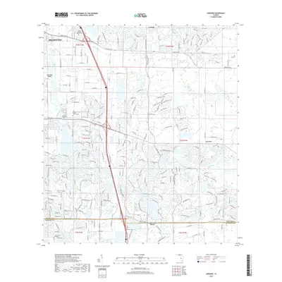
2018 Map of Lorraine
USGS Topo · Published 2018About this map
The Braden River and Ward Lake anchor the central corridor of this Manatee County landscape, illustrating the rapid suburban expansion and institutional development east of Bradenton. This 2018 survey captures the dense residential networks of Lakewood Ranch and the planned communities bordering Sarasota County. Educational hubs are prominent, featuring the Manatee Technical College Main Campus and the Keiser Univ Sarasota Campus near the southern boundary. To the north and east, the transition toward the older settlement of Lorraine and the unincorporated area of Foxleigh is marked by a shift from suburban grids to more expansive drainage features like Wolf Slough and Cypress Strand. The map provides a precise record of the modern road network, including arterial routes like Manatee Ave E and University Pkwy Co Line Rd, which have reshaped the traditional agricultural lands of former areas like Elwood Park.
Find a feature on this map
101 named features on this map. Tap any name to fly to it.
Don’t see what you’re looking for? This feature index may not catch every label — zoom into the map to look around manually.
Map Details
Editions of this 2018 Lorraine Map
This is the sole edition of this map. No revisions or reprints were ever made.
Other maps of this area

1921 · Fort De Soto
USGS Topo · 1:62,500

1944 · Sarasota
USGS Topo · 1:31,680

1944 · Rye
USGS Topo · 1:31,680

1944 · Verna
USGS Topo · 1:31,680

1944 · Lorraine
USGS Topo · 1:31,680

1944 · Ellenton
USGS Topo · 1:31,680

1944 · Parish
USGS Topo · 1:31,680

1944 · Miakka
USGS Topo · 1:31,680

1947 · Bradenton
USGS Topo · 1:24,000

1947 · Bee Ridge
USGS Topo · 1:24,000