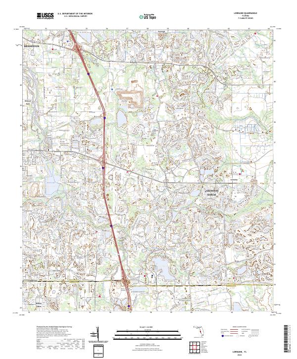
2024 Map of Lorraine
USGS Topo · Published 2024About this map
Lakewood Ranch defines much of the eastern landscape in this part of Manatee County, showing the extensive master-planned development that has transformed former agricultural lands. The Braden River and Ward Lake provide a natural spine through the western portion of the area, where older settlements like Elwood Park and Foxleigh are situated. The presence of the Braden River Cem offers a point of interest for genealogists tracing local families in a region that has seen rapid modern expansion.
Find a feature on this map
26 named features on this map. Tap any name to fly to it.
Don’t see what you’re looking for? This feature index may not catch every label — zoom into the map to look around manually.
Map Details
Editions of this 2024 Lorraine Map
This is the sole edition of this map. No revisions or reprints were ever made.
Other maps of this area

1921 · Fort De Soto
USGS Topo · 1:62,500

1944 · Sarasota
USGS Topo · 1:31,680

1944 · Rye
USGS Topo · 1:31,680

1944 · Verna
USGS Topo · 1:31,680

1944 · Lorraine
USGS Topo · 1:31,680

1944 · Ellenton
USGS Topo · 1:31,680

1944 · Parish
USGS Topo · 1:31,680

1944 · Miakka
USGS Topo · 1:31,680

1947 · Bradenton
USGS Topo · 1:24,000

1947 · Bee Ridge
USGS Topo · 1:24,000