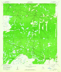
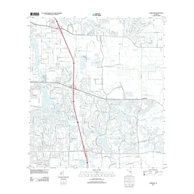
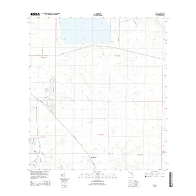
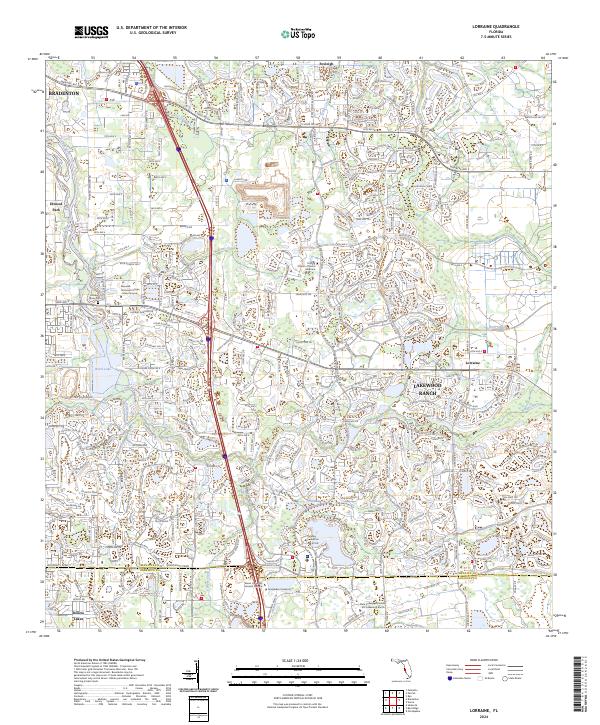
1944 Map of Lorraine
USGS Topo · Published 1961About this map
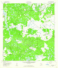
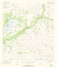
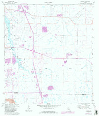
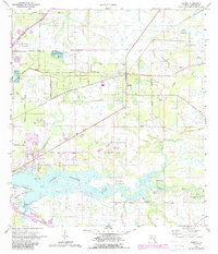
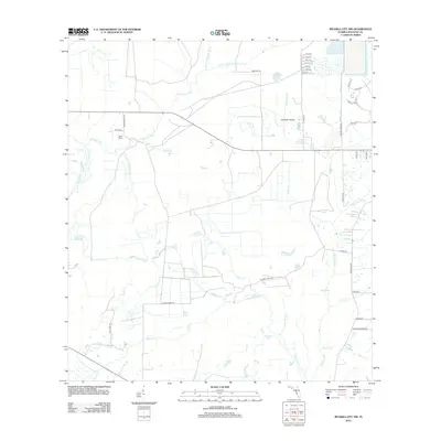
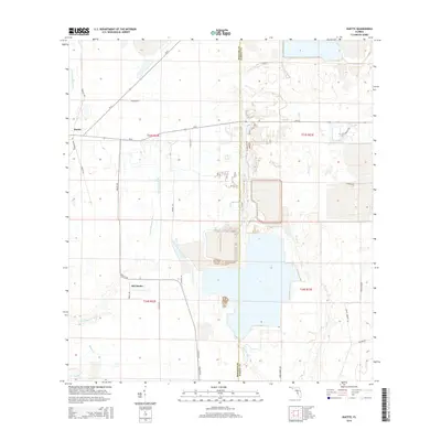
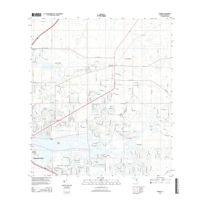
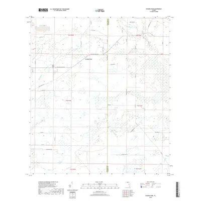
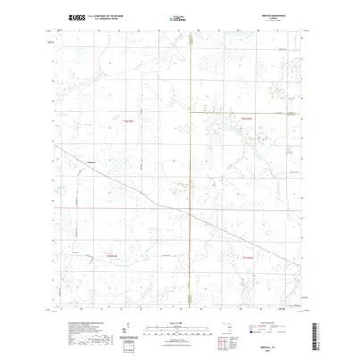
Braden River meanders through this portion of Manatee County, Florida, where the landscape is defined by an intricate network of wetlands and seasonal drainages. During the mid-1940s, this area was primarily rural, with small communities like Lorraine and Foxleigh serving as local nodes. Evidence of earlier industry and transport is visible in the Old Railroad Grade that cuts across the northern terrain, indicating a period when rail lines were critical for local commerce. Cultural landmarks, such as the Braden River Cem, provide valuable points of interest for genealogists and local historians tracking family roots in the region. To the west, Elwood Park sits near the riverbanks, while numerous named sloughs and creeks, including Rattlesnake Slough and Cooper Creek, highlight the complex hydrology of the coastal lowlands near the Manatee Co Sarasota Co line.
Find a feature on this map
15 named features on this map. Tap any name to fly to it.
Don’t see what you’re looking for? This feature index may not catch every label — zoom into the map to look around manually.
Map Details
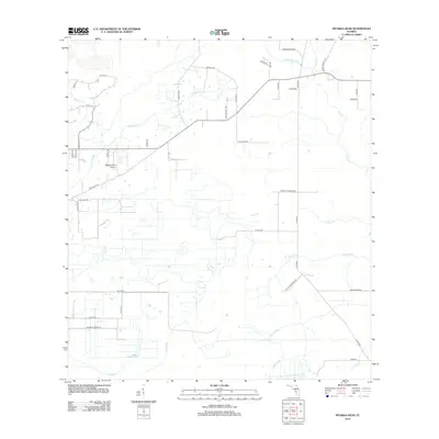
Editions of this 1944 Lorraine Map
2 editions found
Historical Maps of Bradenton Through Time
65 maps found

1921 Fort De Soto
Manatee County, FL
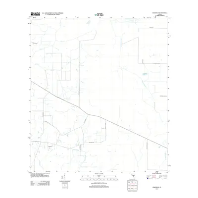
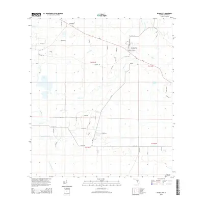
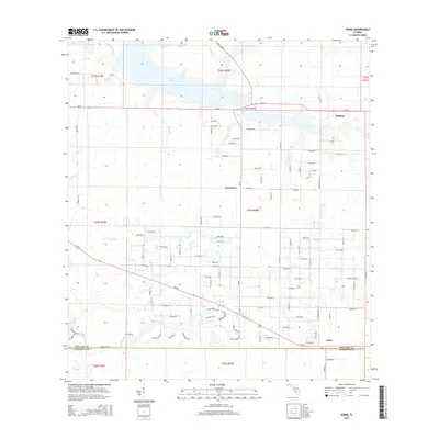
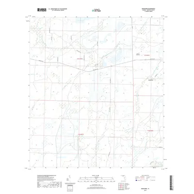
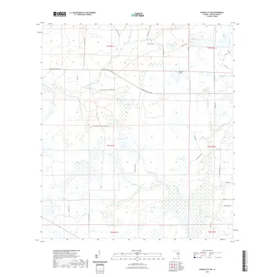
1944 Lorraine
Manatee County, FL
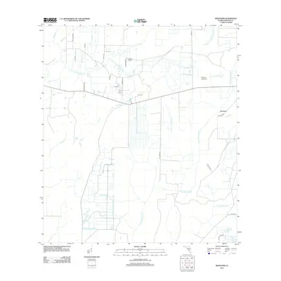
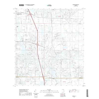
1944 Parrish
Manatee County, FL
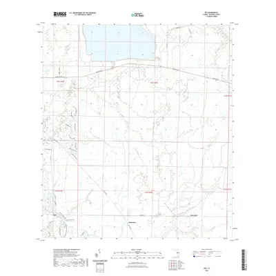
1944 Rye
Manatee County, FL
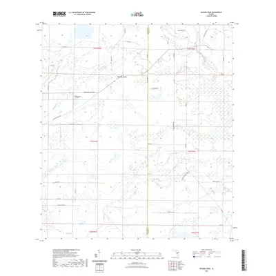
1944 Verna
Manatee County, FL
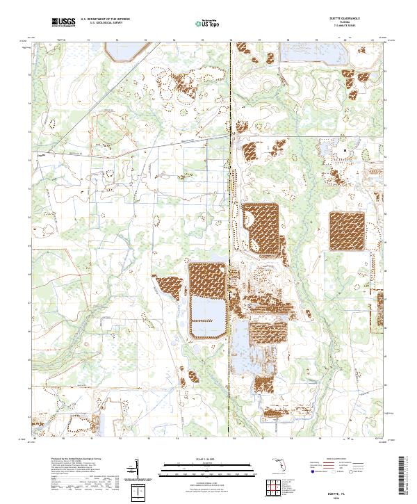
1956 Duette
Manatee County, FL
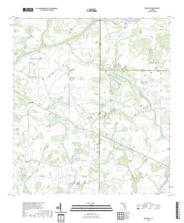
1956 Edgeville
Manatee County, FL
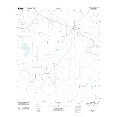
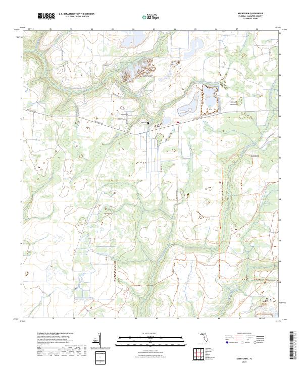
1956 Keentown
Manatee County, FL
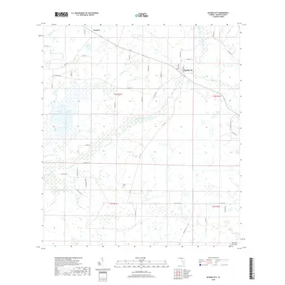
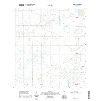
1956 Myakka City
Manatee County, FL
1956 Myakka City NW
Manatee County, FL
1956 Myakka Head
Manatee County, FL
1972 Rye
Manatee County, FL
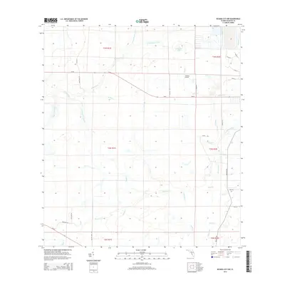
1973 Lorraine
Manatee County, FL
1973 Parrish
Manatee County, FL
1973 Verna
Manatee County, FL
2012 Duette
Manatee County, FL
2012 Edgeville
Manatee County, FL
2012 Keentown
Manatee County, FL
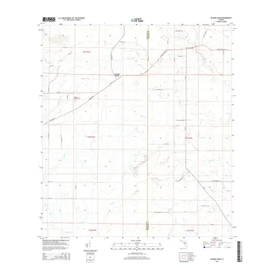
2012 Lorraine
Manatee County, FL
2012 Myakka City
Manatee County, FL
2012 Myakka City NW
Manatee County, FL
2012 Myakka Head
Manatee County, FL
2012 Parrish
Manatee County, FL
2012 Rye
Manatee County, FL

2012 Verna
Manatee County, FL
2015 Duette
Manatee County, FL
2015 Edgeville
Manatee County, FL
2015 Keentown
Manatee County, FL
2015 Lorraine
Manatee County, FL
2015 Myakka City
Manatee County, FL
2015 Myakka City NW
Manatee County, FL
2015 Myakka Head
Manatee County, FL
2015 Parrish
Manatee County, FL
2015 Rye
Manatee County, FL
2015 Verna
Manatee County, FL
2018 Duette
Manatee County, FL
2018 Edgeville
Manatee County, FL
2018 Keentown
Manatee County, FL
2018 Lorraine
Manatee County, FL
2018 Myakka City
Manatee County, FL
2018 Myakka City NW
Manatee County, FL
2018 Myakka Head
Manatee County, FL
2018 Parrish
Manatee County, FL
2018 Rye
Manatee County, FL

2018 Verna
Manatee County, FL
2021 Duette
Manatee County, FL
2021 Edgeville
Manatee County, FL
2021 Keentown
Manatee County, FL
2021 Lorraine
Manatee County, FL
2021 Myakka City
Manatee County, FL
2021 Myakka City NW
Manatee County, FL
2021 Myakka Head
Manatee County, FL

2021 Parrish
Manatee County, FL
2021 Rye
Manatee County, FL
2021 Verna
Manatee County, FL
2024 Duette
Manatee County, FL
2024 Edgeville
Manatee County, FL
2024 Keentown
Manatee County, FL
2024 Lorraine
Manatee County, FL
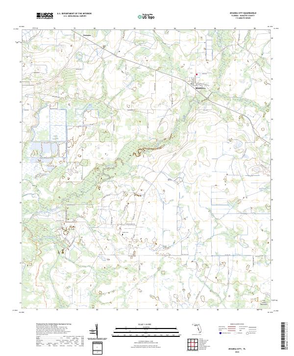
2024 Myakka City
Manatee County, FL
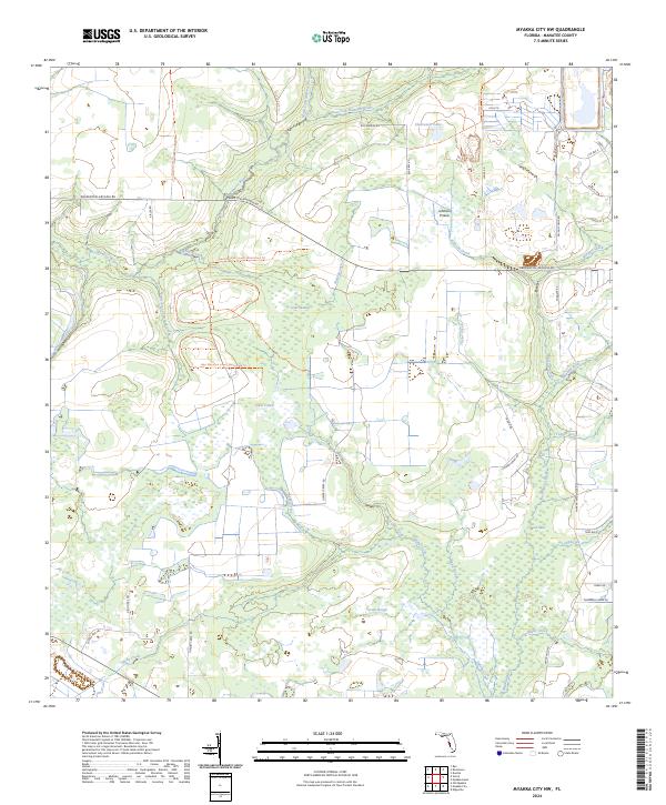
2024 Myakka City NW
Manatee County, FL
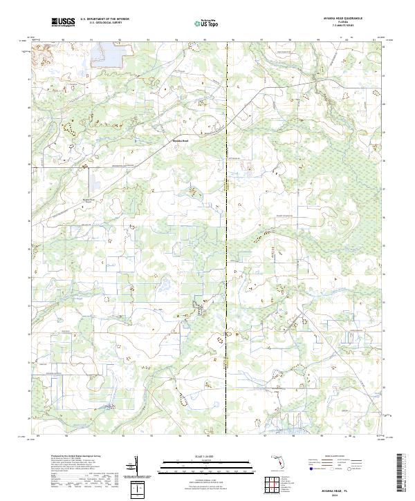
2024 Myakka Head
Manatee County, FL
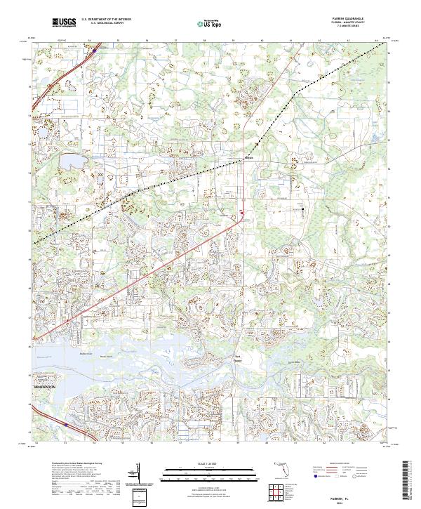
2024 Parrish
Manatee County, FL
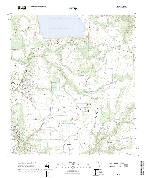
2024 Rye
Manatee County, FL
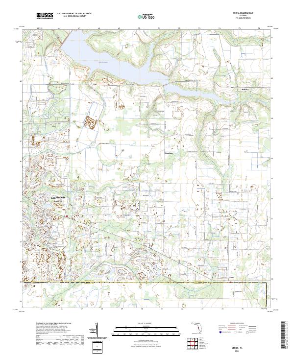
2024 Verna
Manatee County, FL