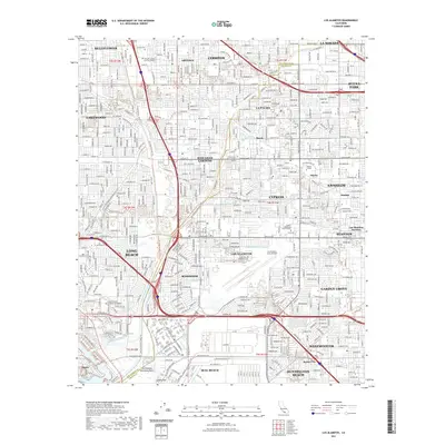
2021 Map of Los Alamitos
USGS Topo · Published 2021About this map
The San Gabriel River and Coyote Creek anchor this highly developed landscape on the border of Los Angeles and Orange Counties. The dense suburban grid reveals the interconnected growth of Los Alamitos, Cerritos, and Long Beach. Military and educational institutions occupy significant tracts of land, most notably the Los Alamitos Army Airfield and the sprawling campus of California State University Long Beach near Alamitos Bay.
Find a feature on this map
49 named features on this map. Tap any name to fly to it.
Don’t see what you’re looking for? This feature index may not catch every label — zoom into the map to look around manually.
Map Details
Editions of this 2021 Los Alamitos Map
This is the sole edition of this map. No revisions or reprints were ever made.
Other maps of this area

1896 · Santa Ana
USGS Topo · 1:62,500

1896 · Anaheim
USGS Topo · 1:62,500

1896 · Las Bolsas
USGS Topo · 1:62,500

1896 · Downey
USGS Topo · 1:62,500

1898 · Anaheim
USGS Topo · 1:62,500

1899 · Downey
USGS Topo · 1:62,500

1901 · Southern California Sheet No. 1
USGS Topo · 1:250,000
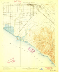
1901 · Santa Ana
USGS Topo · 1:62,500
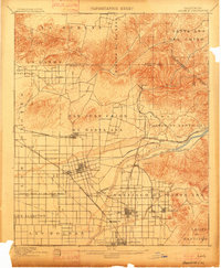
1901 · Anaheim
USGS Topo · 1:62,500
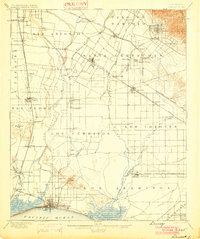
1902 · Downey
USGS Topo · 1:62,500