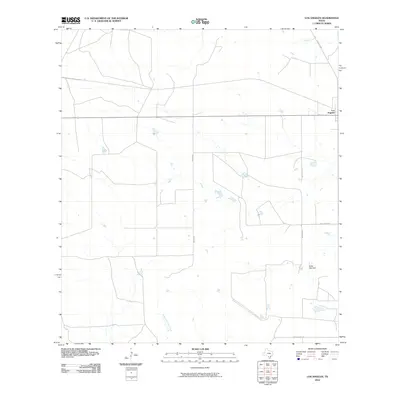
2010 Map of Los Angeles
USGS Topo · Published 2010About this map
Los Angeles is the primary focus of this 2010 topographic survey in La Salle County, situated within a landscape defined by ranch roads and intermittent watercourses. The local hydrology is marked by the winding paths of Nogate Creek in the north and Charco Marrano Creek to the south, while the Bailey Lake Dam provides a point of engineered water management in the southeastern corner of the quadrangle. The road network reveals the region's character through uniquely named thoroughfares such as Dirty Shame Rd and Mummies Rd, which cut through the open country alongside Ranch Rd 469 and Jim O' Field Rd. This map captures the layout of a rural Texas crossroads community and its surrounding ranchland at the start of the second decade of the 21st century.
Find a feature on this map
9 named features on this map. Tap any name to fly to it.
Don’t see what you’re looking for? This feature index may not catch every label — zoom into the map to look around manually.
Map Details
Editions of this 2010 Los Angeles Map
This is the sole edition of this map. No revisions or reprints were ever made.
Other maps of this area

1929 · Cotulla
USGS Topo · 1:125,000

1940 · Cotulla
USGS Topo · 1:62,500

1942 · Fowlerton
USGS Topo · 1:62,500

1942 · Dilley
USGS Topo · 1:62,500

1953 · Crystal City
USGS Topo · 1:250,000

1955 · Crystal City
USGS Topo · 1:250,000

1956 · Hindes
USGS Topo · 1:62,500

1956 · Fowlerton
USGS Topo · 1:62,500

1961 · Crystal City
USGS Topo · 1:250,000

1968 · Crystal City
USGS Topo · 1:250,000