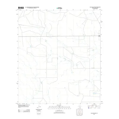
2013 Map of Los Angeles
USGS Topo · Published 2013About this map
Los Angeles sits at a crossroads in the South Texas brush country, serving as the primary hub for this section of La Salle County. The landscape is defined by the intermittent drainages of Nogate Cr and Charco Marrano Cr, which shape the local ranching environment. This map highlights the rural road network connecting isolated ranch properties, including the state-maintained FM 469 and more informally named routes like Dirty Shame Rd and Brown Rd. The layout of stock ponds and fencing patterns suggests a region dedicated primarily to large-scale cattle ranching and land management typical of the Eagle Ford Shale region during the early twenty-first century.
Find a feature on this map
6 named features on this map. Tap any name to fly to it.
Don’t see what you’re looking for? This feature index may not catch every label — zoom into the map to look around manually.
Map Details
Editions of this 2013 Los Angeles Map
This is the sole edition of this map. No revisions or reprints were ever made.
Other maps of this area

1929 · Cotulla
USGS Topo · 1:125,000

1940 · Cotulla
USGS Topo · 1:62,500

1942 · Fowlerton
USGS Topo · 1:62,500

1942 · Dilley
USGS Topo · 1:62,500

1953 · Crystal City
USGS Topo · 1:250,000

1955 · Crystal City
USGS Topo · 1:250,000

1956 · Hindes
USGS Topo · 1:62,500

1956 · Fowlerton
USGS Topo · 1:62,500

1961 · Crystal City
USGS Topo · 1:250,000

1968 · Crystal City
USGS Topo · 1:250,000