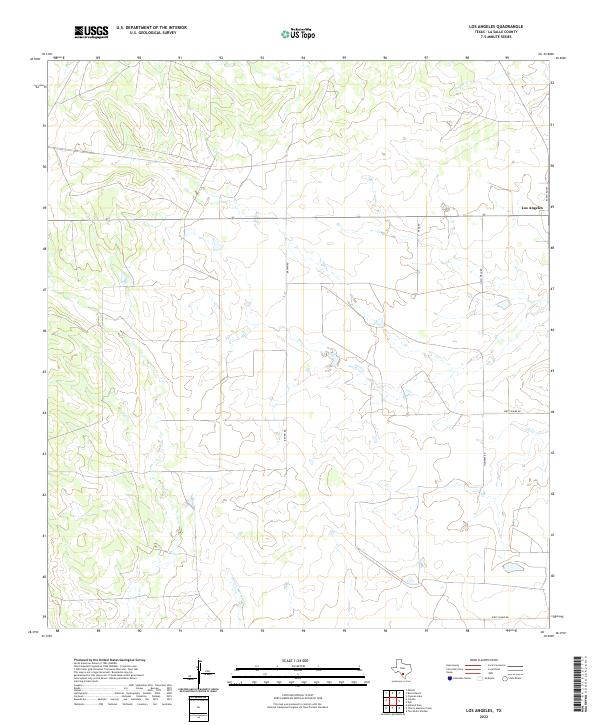
2022 Map of Los Angeles
USGS Topo · Published 2022About this map
Los Angeles occupies a quiet corner of La Salle County in this 2022 survey, representing a dispersed rural community defined by large ranching tracts and a sparse network of unpaved roads. The landscape is drained by seasonal watercourses like Charco Marrano Cr in the south and Nogate Cr to the north, which carve subtle patterns into the South Texas brush country. Unusual local toponyms, including Dirty Shame RD and Mummies RD, suggest a colorful local history and the influence of specific property owners on the contemporary road network. The presence of Jim O Field RD and Pena Rd further highlights the intersection of family lineages with the geography of the Brush Country, where land use remains primarily dedicated to livestock and the varied resource needs of the regional ranching economy.
Find a feature on this map
9 named features on this map. Tap any name to fly to it.
Don’t see what you’re looking for? This feature index may not catch every label — zoom into the map to look around manually.
Map Details
Editions of this 2022 Los Angeles Map
This is the sole edition of this map. No revisions or reprints were ever made.
Other maps of this area

1929 · Cotulla
USGS Topo · 1:125,000

1940 · Cotulla
USGS Topo · 1:62,500

1942 · Fowlerton
USGS Topo · 1:62,500

1942 · Dilley
USGS Topo · 1:62,500

1953 · Crystal City
USGS Topo · 1:250,000

1955 · Crystal City
USGS Topo · 1:250,000

1956 · Hindes
USGS Topo · 1:62,500

1956 · Fowlerton
USGS Topo · 1:62,500

1961 · Crystal City
USGS Topo · 1:250,000

1968 · Crystal City
USGS Topo · 1:250,000