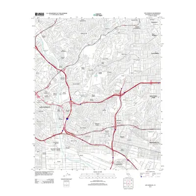
2012 Map of Los Angeles
USGS Topo · Published 2012About this map
The Los Angeles River and the winding Arroyo Seco anchor this detailed study of the city's eastern neighborhoods and adjacent suburbs during the early 21st century. The landscape is a dense network of residential districts like Boyle Heights, Lincoln Heights, and Mount Washington, interspersed with significant cultural and industrial landmarks. Of particular interest to genealogists and local historians is the concentration of historic burial grounds, including the expansive Evergreen Cem, Calvary Cem, and the Independent Order of Oddfellows Cem.
Find a feature on this map
98 named features on this map. Tap any name to fly to it.
Don’t see what you’re looking for? This feature index may not catch every label — zoom into the map to look around manually.
Map Details
Editions of this 2012 Los Angeles Map
This is the sole edition of this map. No revisions or reprints were ever made.
Other maps of this area

1894 · Los Angeles
USGS Topo · 1:62,500

1896 · Pasadena
USGS Topo · 1:62,500

1896 · Redondo
USGS Topo · 1:62,500

1896 · Santa Monica
USGS Topo · 1:62,500

1896 · Downey
USGS Topo · 1:62,500

1898 · Santa Monica
USGS Topo · 1:62,500

1899 · Downey
USGS Topo · 1:62,500

1900 · Pasadena
USGS Topo · 1:62,500

1900 · Los Angeles
USGS Topo · 1:62,500

1901 · Southern California Sheet No. 1
USGS Topo · 1:250,000