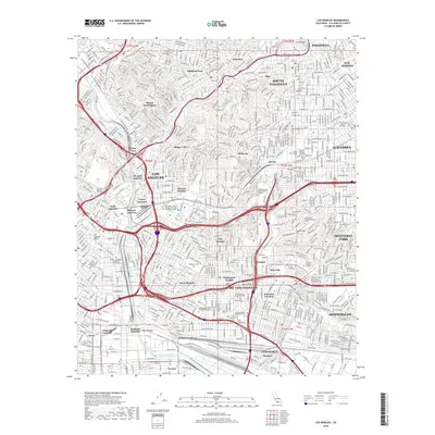
2018 Map of Los Angeles
USGS Topo · Published 2018About this map
Boyle Heights and East Los Angeles serve as the central hubs for this modern era survey, showcasing a dense network of residential and industrial development east of the Los Angeles River. The landscape is defined by its massive transportation corridors, including the Golden State FWY and San Bernardino FWY, which intersect near historic rail points like Mission Junction and Taylor Junction.
Find a feature on this map
72 named features on this map. Tap any name to fly to it.
Don’t see what you’re looking for? This feature index may not catch every label — zoom into the map to look around manually.
Map Details
Editions of this 2018 Los Angeles Map
This is the sole edition of this map. No revisions or reprints were ever made.
Other maps of this area

1894 · Los Angeles
USGS Topo · 1:62,500

1896 · Pasadena
USGS Topo · 1:62,500

1896 · Redondo
USGS Topo · 1:62,500

1896 · Santa Monica
USGS Topo · 1:62,500

1896 · Downey
USGS Topo · 1:62,500

1898 · Santa Monica
USGS Topo · 1:62,500

1899 · Downey
USGS Topo · 1:62,500

1900 · Pasadena
USGS Topo · 1:62,500

1900 · Los Angeles
USGS Topo · 1:62,500

1901 · Southern California Sheet No. 1
USGS Topo · 1:250,000