Loading...
Loading map...2002 Map of Los Ebanos
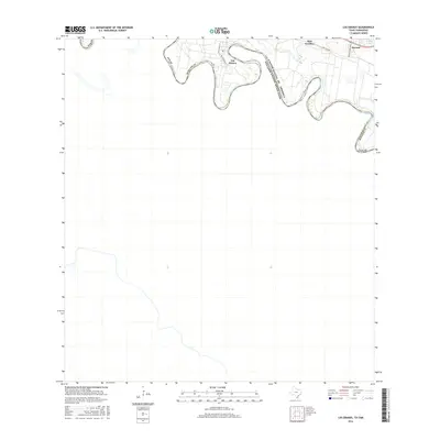
USGS Topo · Published 2003About this map
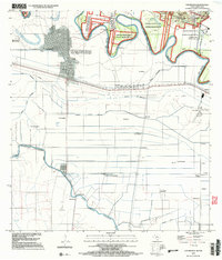
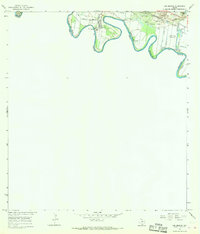
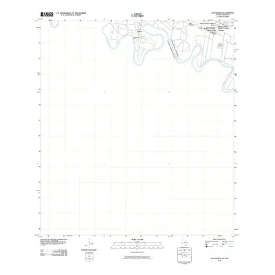
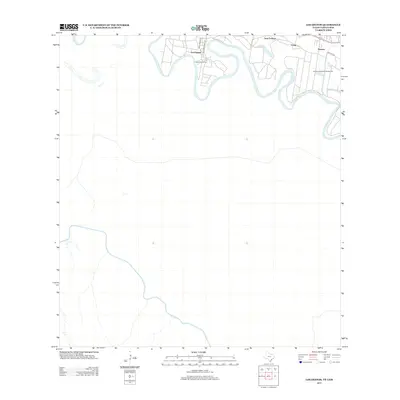
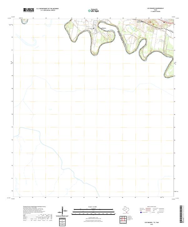
The International Ferry at Los Ebanos serves as a focal point for this borderland geography, where the Rio Grande Bravo creates a winding natural boundary between Texas and Tamaulipas. On the Mexican side, the sprawling grid of Ciudad Diaz Ordaz contrasts with the agricultural landscape to the south, which is defined by an extensive irrigation network including the Canal Principal Guillermo Rode and Canal Lateral Barrote.
Find a feature on this map
57 named features on this map. Tap any name to fly to it.
Don’t see what you’re looking for? This feature index may not catch every label — zoom into the map to look around manually.
Map Details
Date Portrayed2002
Date Published2003
PublisherU.S. Geological Survey
Map TypeTopographic
Scale1:24,000
Physical Dimensions23 x 26.9 inches
Editions of this 2002 Los Ebanos Map
This is the sole edition of this map. No revisions or reprints were ever made.
Historical Maps of Los Ebanos Through Time
8 maps found

Featured Locations
Source Details
SourceU.S. Geological Survey
CopyrightPublic Domain