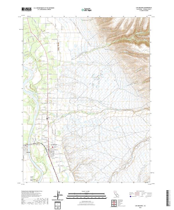
2021 Map of Los Molinos
USGS Topo · Published 2021About this map
Los Molinos and Tehama occupy the fertile transition between the Sacramento Valley floor and the rising foothills of the Sierra Nevada. The Sacramento River meanders along the western edge of this territory, joined by a dense network of seasonal and perennial drainages including Mill Creek, Antelope Creek, and Champlin Slough. These waterways have historically defined the agricultural layout of the region, where a precise grid of numbered avenues and named streets like Sherman Street and Grant Street meets the erratic natural topography of the east.
Find a feature on this map
96 named features on this map. Tap any name to fly to it.
Don’t see what you’re looking for? This feature index may not catch every label — zoom into the map to look around manually.
Map Details
Editions of this 2021 Los Molinos Map
This is the sole edition of this map. No revisions or reprints were ever made.
Other maps of this area

1886 · Lassen Peak
USGS Topo · 1:250,000

1890 · Red Bluff
USGS Topo · 1:250,000

1891 · Chico
USGS Topo · 1:125,000

1892 · Lassen Peak
USGS Topo · 1:250,000

1893 · Chico
USGS Topo · 1:125,000

1894 · Lassen Peak
USGS Topo · 1:250,000

1894 · Red Bluff
USGS Topo · 1:250,000

1895 · Chico
USGS Topo · 1:125,000

1904 · Vina
USGS Topo · 1:62,500

1905 · Tehama
USGS Topo · 1:62,500