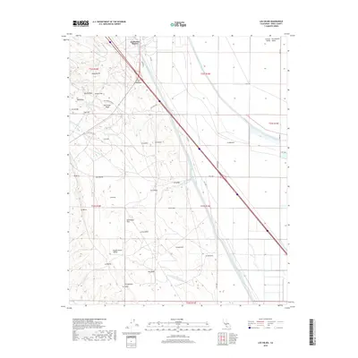
2018 Map of Los Viejos
USGS Topo · Published 2018About this map
The Governor Edmund G Brown California Aqueduct cuts a massive diagonal through this Kings County landscape, illustrating the critical infrastructure required for agriculture in the San Joaquin Valley. Adjacent to the aqueduct, the Blakeley Canal further emphasizes the managed water system of the Central Valley. To the west, the arid terrain rises into the Kettleman Hills, featuring distinctive topographic markers such as Mustang Hill, Bullwheel Ridge, and North Dome. Several small settlements and local place names like Kettleman Station and Los Médanos line the transport corridors, while more traditional Spanish-named locations such as La Salida, La Llanura, and La Escudilla are scattered across the valley floor. The map also traces the seasonal drainage patterns of various arroyos, including Arroyo Culebrino and Arroyo Recodo, which carve through the dry hills and basins.
Find a feature on this map
48 named features on this map. Tap any name to fly to it.
Don’t see what you’re looking for? This feature index may not catch every label — zoom into the map to look around manually.
Map Details
Editions of this 2018 Los Viejos Map
This is the sole edition of this map. No revisions or reprints were ever made.
Other maps of this area

1912 · Coalinga
USGS Topo · 1:125,000

1914 · Lost Hills
USGS Topo · 1:125,000

1914 · Cholame
USGS Topo · 1:125,000

1915 · Cholame
USGS Topo · 1:125,000

1917 · Cholame
USGS Topo · 1:125,000

1930 · Discovery Well
USGS Topo · 1:31,680

1930 · Avenal Gap
USGS Topo · 1:31,680

1930 · Kettleman Plain
USGS Topo · 1:31,680

1930 · Middle Dome
USGS Topo · 1:31,680

1932 · Dudley Ridge
USGS Topo · 1:31,680