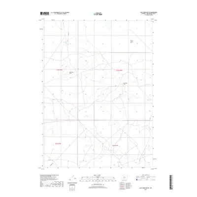
2017 Map of Lost Creek Butte
USGS Topo · Published 2017About this map
Lost Creek Butte serves as the central landmark for this high-desert landscape in Wyoming's Red Desert region. The 2017 survey details a remote, arid environment characterized by seasonal water features and extensive public land access. To the north, Lost Cr Butte Lake and the expanse of Battle Spring Flat reflect the ephemeral hydrology of the area, where water is a critical but scarce resource. The presence of Government Reservoir in the southeast suggests intentional water management for livestock or wildlife in this interior drainage basin.
Find a feature on this map
13 named features on this map. Tap any name to fly to it.
Don’t see what you’re looking for? This feature index may not catch every label — zoom into the map to look around manually.
Map Details
Editions of this 2017 Lost Creek Butte Map
This is the sole edition of this map. No revisions or reprints were ever made.
Other maps of this area

1954 · Rawlins
USGS Topo · 1:250,000

1954 · Rock Springs
USGS Topo · 1:250,000

1955 · Lander
USGS Topo · 1:250,000

1955 · Casper
USGS Topo · 1:250,000

1958 · Rawlins
USGS Topo · 1:250,000

1958 · Casper
USGS Topo · 1:250,000

1958 · Lander
USGS Topo · 1:250,000

1958 · Rock Springs
USGS Topo · 1:250,000

1960 · Battle Spring
USGS Topo · 1:24,000

1960 · Lost Creek Butte
USGS Topo · 1:62,500