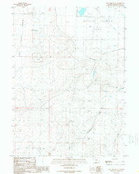
1989 Map of Lost Creek Butte
USGS Topo · Published 1989About this map
Luman Ranch and its associated Luman Road anchor the southern landscape of this Sweetwater County survey. The terrain is defined by the broad expanse of Battle Spring Flat and the depressions of the Lost Creek Basin, where the namesake Lost Creek Butte stands as a prominent landmark. This high-desert environment shows a clear pattern of water management and industrial transit, with a pipeline traversing the western sections and small-scale water features like Lost Creek Butte Lake and Government Reservoir providing essential resources in an otherwise arid region. The drainage patterns of Sourdough Gulch and the East Fork illustrate the natural runoff channels that shape the basins, while isolated markers like a Drill Hole point to the subsurface exploration common in this part of Wyoming during the late 20th century.
Find a feature on this map
14 named features on this map. Tap any name to fly to it.
Don’t see what you’re looking for? This feature index may not catch every label — zoom into the map to look around manually.
Map Details
Editions of this 1989 Lost Creek Butte Map
This is the sole edition of this map. No revisions or reprints were ever made.
Other maps of this area

1954 · Rawlins
USGS Topo · 1:250,000

1954 · Rock Springs
USGS Topo · 1:250,000

1955 · Lander
USGS Topo · 1:250,000

1955 · Casper
USGS Topo · 1:250,000

1958 · Rawlins
USGS Topo · 1:250,000

1958 · Casper
USGS Topo · 1:250,000

1958 · Lander
USGS Topo · 1:250,000

1958 · Rock Springs
USGS Topo · 1:250,000

1960 · Battle Spring
USGS Topo · 1:24,000

1960 · Lost Creek Butte
USGS Topo · 1:62,500