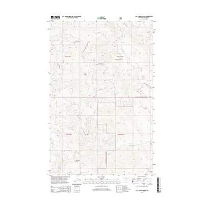
2014 Map of Lost Creek Divide
USGS Topo · Published 2014About this map
Flathead National Forest encompasses the entirety of this high-elevation terrain, where the topography is defined by the prominent Lost Creek Divide and Reid Divide. This 2014 survey reveals a complex drainage network feeding into the surrounding valleys, with seasonal and permanent flows including Oettiker Cr, Taylor Cr, and Big Lost Cr. The landscape is largely inaccessible except by a network of specialized forestry routes such as Nat Forest Develop Road 2956 Rd and Nat Forest Dev Road 5321. These roads underscore the area's primary use for timber management and backcountry recreation. Notable landmarks like Mountain Meadow and Rhodes Draw provide specific points of orientation for researchers tracking historical land use or watershed patterns within this protected federal wilderness area.
Find a feature on this map
22 named features on this map. Tap any name to fly to it.
Don’t see what you’re looking for? This feature index may not catch every label — zoom into the map to look around manually.
Map Details
Editions of this 2014 Lost Creek Divide Map
This is the sole edition of this map. No revisions or reprints were ever made.
Other maps of this area

1943 · Kalispell
USGS Topo · 1:125,000

1957 · Kalispell
USGS Topo · 1:250,000

1960 · Kalispell
USGS Topo · 1:250,000

1961 · Kalispell
USGS Topo · 1:250,000

1962 · Johnson Peak
USGS Topo · 1:24,000

1962 · Blue Grass Ridge
USGS Topo · 1:24,000

1962 · Beaver Lake
USGS Topo · 1:24,000

1962 · Lost Creek Divide
USGS Topo · 1:24,000

1962 · Ashley Mountain
USGS Topo · 1:24,000

1962 · Rhodes
USGS Topo · 1:24,000