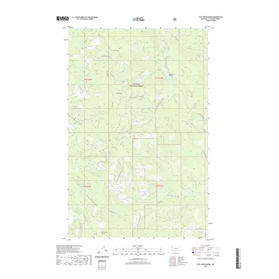
2020 Map of Lost Creek Divide
USGS Topo · Published 2020About this map
Flathead National Forest defines the character of this 2020 topographic study, which documents the complex drainage systems and ridgelines of the Stillwater State Forest area. Central to the map is Lost Creek Divide, a prominent crest that separates the headwaters of numerous mountain streams. The terrain is marked by deep drainages such as Rhodes Draw and Big Lost Cr, which flow through the timbered heights.
Find a feature on this map
30 named features on this map. Tap any name to fly to it.
Don’t see what you’re looking for? This feature index may not catch every label — zoom into the map to look around manually.
Map Details
Editions of this 2020 Lost Creek Divide Map
This is the sole edition of this map. No revisions or reprints were ever made.
Other maps of this area

1943 · Kalispell
USGS Topo · 1:125,000

1957 · Kalispell
USGS Topo · 1:250,000

1960 · Kalispell
USGS Topo · 1:250,000

1961 · Kalispell
USGS Topo · 1:250,000

1962 · Johnson Peak
USGS Topo · 1:24,000

1962 · Blue Grass Ridge
USGS Topo · 1:24,000

1962 · Beaver Lake
USGS Topo · 1:24,000

1962 · Lost Creek Divide
USGS Topo · 1:24,000

1962 · Ashley Mountain
USGS Topo · 1:24,000

1962 · Rhodes
USGS Topo · 1:24,000