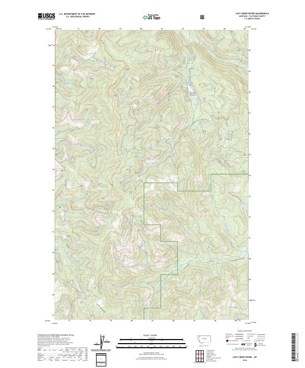
2024 Map of Lost Creek Divide
USGS Topo · Published 2024About this map
Flathead National Forest land defines this portion of the northern Rockies, where the topography is shaped by the prominent Lost Creek Divide and Reid Divide. The landscape is a network of drainage basins, with Big Lost Creek and Taylor Creek carving through the terrain. Evidence of wilderness management and recreation is visible through established routes like the Tally-Ashley Trl and Lone Star Trl, which navigate the high ridges and valleys.
Find a feature on this map
25 named features on this map. Tap any name to fly to it.
Don’t see what you’re looking for? This feature index may not catch every label — zoom into the map to look around manually.
Map Details
Editions of this 2024 Lost Creek Divide Map
This is the sole edition of this map. No revisions or reprints were ever made.
Other maps of this area

1943 · Kalispell
USGS Topo · 1:125,000

1957 · Kalispell
USGS Topo · 1:250,000

1960 · Kalispell
USGS Topo · 1:250,000

1961 · Kalispell
USGS Topo · 1:250,000

1962 · Johnson Peak
USGS Topo · 1:24,000

1962 · Blue Grass Ridge
USGS Topo · 1:24,000

1962 · Beaver Lake
USGS Topo · 1:24,000

1962 · Lost Creek Divide
USGS Topo · 1:24,000

1962 · Ashley Mountain
USGS Topo · 1:24,000

1962 · Rhodes
USGS Topo · 1:24,000