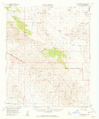
1958 Map of Lost Horse Mtn
USGS Topo · Published 1963About this map
Lost Horse Mine and the Hidden Gold Mine anchor the mining history of this desert landscape, where prospectors once sought riches among the granite outcrops and steep canyons. The terrain is defined by the Little San Bernardino Mountains and the Hexie Mountains, with high desert basins like Lost Horse Valley and Queen Valley providing rare flat ground. Cultural development is largely recreational, marked by the Joshua Tree National Monument Boundary and sites such as Jumbo Rocks Campground.
Find a feature on this map
47 named features on this map. Tap any name to fly to it.
Don’t see what you’re looking for? This feature index may not catch every label — zoom into the map to look around manually.
Map Details
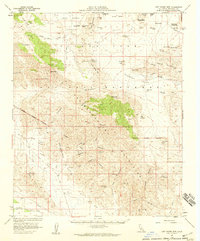
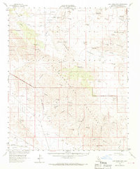
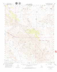
Editions of this 1958 Lost Horse Mtn Map
4 editions found
Other maps of this area

1904 · Indio
USGS Topo · 1:125,000

1940 · Cottonwood Spring
USGS Topo · 1:62,500

1941 · Toro Peak
USGS Topo · 1:62,500

1941 · Coachella
USGS Topo · 1:62,500

1941 · Edom
USGS Topo · 1:62,500

1942 · Amboy
USGS Topo · 1:250,000

1943 · Amboy
USGS Topo · 1:250,000

1943 · Coachella
USGS Topo · 1:62,500

1943 · Pinkham Well
USGS Topo · 1:62,500

1944 · Toro peak
USGS Topo · 1:62,500