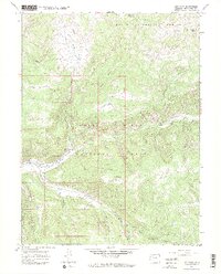
1966 Map of Lost Park
USGS Topo · Published 1969About this map
The confluence of the North Fork White River and the East Fork White River anchors this mid-1960s terrain study of the high-country boundary between the Routt National Forest and the White River National Forest. The landscape is defined by the convergence of major drainages and expansive highland meadows like Little Lost Park and Long Park. Access into these high basins is recorded through a network of primitive infrastructure, including the Lost Jeep Trail and multiple pack trails that follow the winding courses of Lost Creek and Marvine Creek.
Find a feature on this map
33 named features on this map. Tap any name to fly to it.
Don’t see what you’re looking for? This feature index may not catch every label — zoom into the map to look around manually.
Map Details
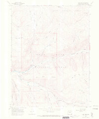
Editions of this 1966 Lost Park Map
2 editions found
Other maps of this area

1906 · Grand Hogback
USGS Topo · 1:125,000

1910 · Danforth Hills
USGS Topo · 1:125,000

1910 · Grand Hogback
USGS Topo · 1:125,000

1927 · Glenwood Springs
USGS Topo · 1:125,000

1930 · Glenwood Springs
USGS Topo · 1:125,000

1954 · Craig
USGS Topo · 1:250,000

1957 · Craig
USGS Topo · 1:250,000

1957 · Leadville
USGS Topo · 1:250,000

1958 · Craig
USGS Topo · 1:250,000

1959 · Leadville
USGS Topo · 1:250,000