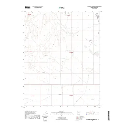
2018 Map of Lost Spring Mountain East
USGS Topo · Published 2018About this map
Colorado City sits in the northeastern corner of this high-desert terrain, serving as a primary hub for this portion of Mohave County. The landscape is defined by its drainages and springs, notably the Wells Spring and Lost Spring, which indicate the critical importance of water sources in this arid environment. The eponymous Lost Spring Mtn anchors the central topography, while the Colorado City Municipal Airport provides a key modern navigational landmark near the Lakes of Short Cr.
Find a feature on this map
26 named features on this map. Tap any name to fly to it.
Don’t see what you’re looking for? This feature index may not catch every label — zoom into the map to look around manually.
Map Details
Editions of this 2018 Lost Spring Mountain East Map
This is the sole edition of this map. No revisions or reprints were ever made.
Other maps of this area

1885 · St. George
USGS Topo · 1:250,000

1886 · Kanab
USGS Topo · 1:250,000

1886 · Mt. Trumbull
USGS Topo · 1:250,000

1886 · Kaibab
USGS Topo · 1:250,000

1891 · St. George
USGS Topo · 1:250,000

1892 · Mt. Trumbull
USGS Topo · 1:250,000

1953 · Cedar City
USGS Topo · 1:250,000

1953 · Grand Canyon
USGS Topo · 1:250,000

1954 · La Verkin 4 SE
USGS Topo · 1:24,000

1954 · La Verkin 4 SW
USGS Topo · 1:24,000