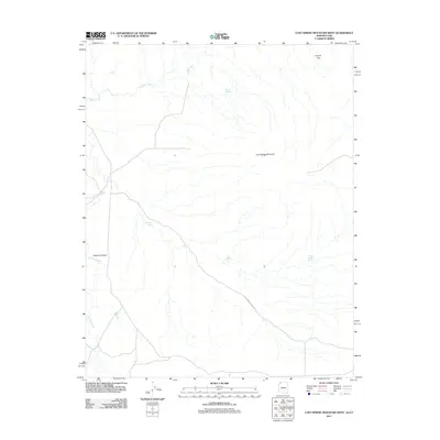
2011 Map of Lost Spring Mountain West
USGS Topo · Published 2011About this map
Lost Spring Mountain anchors this high-desert landscape in Mohave County, where the topography is defined by ephemeral drainages and scattered water sources. The historical Honeymoon Trail Rd cuts through the southeastern portion of the map, tracing a route through the arid terrain between Canaan Gap and the lowlands. Water management is a primary feature of the area, evidenced by Reeds Reservoir and several named springs, including Antelope Spring and Cottonwood Spring, which provided essential stops in an otherwise dry corridor.
Find a feature on this map
11 named features on this map. Tap any name to fly to it.
Don’t see what you’re looking for? This feature index may not catch every label — zoom into the map to look around manually.
Map Details
Editions of this 2011 Lost Spring Mountain West Map
2 editions found
Other maps of this area

1885 · St. George
USGS Topo · 1:250,000

1886 · Mt. Trumbull
USGS Topo · 1:250,000

1891 · St. George
USGS Topo · 1:250,000

1892 · Mt. Trumbull
USGS Topo · 1:250,000

1953 · Cedar City
USGS Topo · 1:250,000

1953 · Grand Canyon
USGS Topo · 1:250,000

1954 · La Verkin 4 SE
USGS Topo · 1:24,000

1954 · La Verkin 4 SW
USGS Topo · 1:24,000

1954 · Lost Spring SE
USGS Topo · 1:24,000

1954 · Hurricane Cliffs 2 NE
USGS Topo · 1:24,000