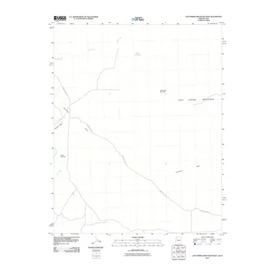
2011 Map of Lost Spring Mountain West
USGS Topo · Published 2011About this map
Honeymoon Trail Rd angles across this arid portion of the Arizona Strip, following a historic travel corridor through the high desert of Mohave County. The landscape is defined by the broad reach of Lost Spring Mountain and the drainage patterns of Short Creek and Clayhole Wash. This 2011 survey documents a sparsely populated region where water management is central to the land's utility, evidenced by the presence of Reeds Reservoir. The terrain transitions from the low-lying washes up toward Upper Antelope, providing a clear view of the rural infrastructure and natural geographic features that have dictated movement and land use in this corner of the American Southwest for generations.
Find a feature on this map
9 named features on this map. Tap any name to fly to it.
Don’t see what you’re looking for? This feature index may not catch every label — zoom into the map to look around manually.
Map Details
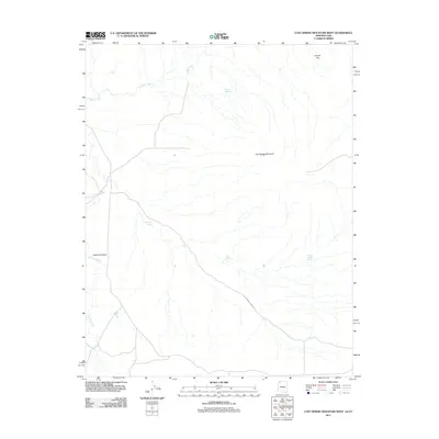
Editions of this 2011 Lost Spring Mountain West Map
2 editions found
Other maps of this area

1885 · St. George
USGS Topo · 1:250,000

1886 · Mt. Trumbull
USGS Topo · 1:250,000

1891 · St. George
USGS Topo · 1:250,000

1892 · Mt. Trumbull
USGS Topo · 1:250,000

1953 · Cedar City
USGS Topo · 1:250,000

1953 · Grand Canyon
USGS Topo · 1:250,000

1954 · La Verkin 4 SE
USGS Topo · 1:24,000

1954 · La Verkin 4 SW
USGS Topo · 1:24,000

1954 · Lost Spring SE
USGS Topo · 1:24,000

1954 · Hurricane Cliffs 2 NE
USGS Topo · 1:24,000