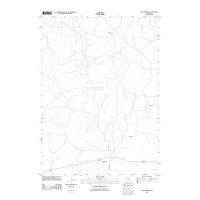
2012 Map of Lost Springs
USGS Topo · Published 2012About this map
Rocky Top overlooks a sparsely settled landscape of Converse County, where the high plains are carved by a complex network of seasonal drainages. This 2012 survey shows the convergence of several major water systems, including E Fork Twentymile Cr and Harney Cr, which define the ranching corridors of this Wyoming region. The road network, consisting of Lost Springs Rd, Wright Rd, and 20 Mile Creek Rd, suggests a modern land use focused on rural connectivity across the undulating terrain. A distinct topographical feature, Stevenson Draw, provides a clear view of the natural depressions that channel runoff into the larger Lost Cr system. The map serves as a detailed record of the geography surrounding the tiny municipality of Lost Springs during the early 21st century.
Find a feature on this map
13 named features on this map. Tap any name to fly to it.
Don’t see what you’re looking for? This feature index may not catch every label — zoom into the map to look around manually.
Map Details
Editions of this 2012 Lost Springs Map
This is the sole edition of this map. No revisions or reprints were ever made.
Other maps of this area

1949 · Shawnee
USGS Topo · 1:24,000

1950 · Amend Ranch
USGS Topo · 1:24,000

1950 · Prairie View School
USGS Topo · 1:24,000

1950 · Shawnee
USGS Topo · 1:24,000

1954 · Torrington
USGS Topo · 1:250,000

1958 · Torrington
USGS Topo · 1:250,000
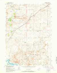
1961 · Shawnee
USGS Topo · 1:24,000

1970 · Lost Springs
USGS Topo · 1:24,000
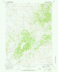
1970 · The Park
USGS Topo · 1:24,000

1970 · Walker Creek School
USGS Topo · 1:24,000