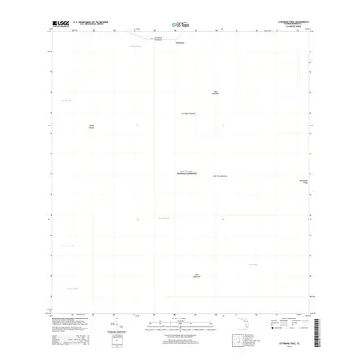
2015 Map of Lostmans Trail
USGS Topo · Published 2015About this map
Big Cypress National Preserve defines the landscape of this southern Florida wilderness area in Monroe County. The map focuses on the interior drainage and vegetation patterns of the Everglades ecosystem, where slightly elevated islands of hardwoods and tropical plants, known as hammocks, rise above the surrounding wetlands. Notable examples include Dr Tiger Hammock, Tamarind Hammock, and Hess Hammock. These elevated features historically served as essential dry ground for local residents and travelers navigating the slow-moving waters of the region.
Find a feature on this map
16 named features on this map. Tap any name to fly to it.
Don’t see what you’re looking for? This feature index may not catch every label — zoom into the map to look around manually.
Map Details
Editions of this 2015 Lostmans Trail Map
This is the sole edition of this map. No revisions or reprints were ever made.
Other maps of this area

1956 · Miami
USGS Topo · 1:250,000

1958 · Miami
USGS Topo · 1:250,000

1972 · Shark Valley Lookout Tower
USGS Topo · 1:24,000

1972 · Lostmans Trail
USGS Topo · 1:24,000

1972 · Big Boy Lake
USGS Topo · 1:24,000

1972 · Panther Mound
USGS Topo · 1:24,000

1972 · Indian Camp Creek
USGS Topo · 1:24,000

1973 · Fortymile Bend
USGS Topo · 1:24,000

1973 · Fiftymile Bend
USGS Topo · 1:24,000

1973 · Monroe Station
USGS Topo · 1:24,000