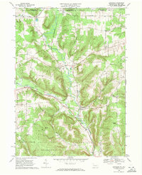
1968 Map of Lottsville
USGS Topo · Published 1971About this map
Little Brokenstraw Creek carves a central valley through this northern Warren County landscape, guiding the path of the Erie-Lackawanna railroad as it winds toward the New York state line. The late 1960s terrain is marked by small rural clusters like Lottsville and Wrightsville, while the village of Bear Lake sits near the northwestern corner, anchored by its namesake water body. This survey captures a transitional period for the local economy, where traditional land use meets modern infrastructure, evidenced by numerous gravel pits and gas wells alongside established sites like Berea Ch and the Turnpike Cem. To the south, the expansive State Game Lands No 143 preserves the wooded uplands, characterized by significant geological formations such as Brooks Rocks and Pikes Rocks that rise above the valley floor.
Find a feature on this map
34 named features on this map. Tap any name to fly to it.
Don’t see what you’re looking for? This feature index may not catch every label — zoom into the map to look around manually.
Map Details
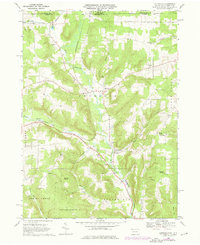
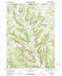
Editions of this 1968 Lottsville Map
Other maps of this area

1904 · Chautaqua
USGS Topo · 1:62,500

1905 · Clymer
USGS Topo · 1:62,500

1926 · Youngsville
USGS Topo · 1:62,500

1929 · Corry
USGS Topo · 1:48,000

1929 · Youngsville
USGS Topo · 1:62,500

1932 · Corry
USGS Topo · 1:62,500

1939 · Clymer
USGS Topo · 1:62,500

1941 · Chautauqua
USGS Topo · 1:62,500

1941 · Clymer
USGS Topo · 1:62,500

1943 · Youngsville
USGS Topo · 1:62,500