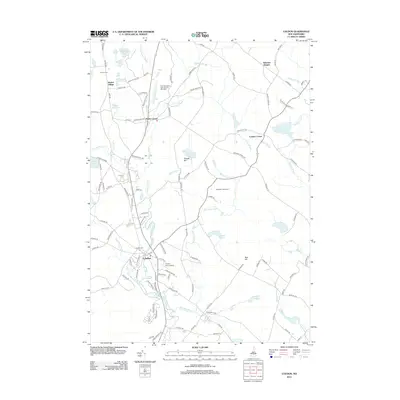
2012 Map of Loudon
USGS Topo · Published 2012About this map
Shaker Village anchors the northwestern portion of this landscape, reflecting the enduring legacy of Shaker settlement in Merrimack County. The area is defined by its network of water bodies and brooks, including the winding Soucook River, Clough Pond, and the interconnected Center Pond and Long Pond. Agricultural and residential patterns are visible at Loudon Center and Sabattus Heights, while the modern industrial footprint of the New Hampshire International Speedway occupies a significant tract north of Pearls Corner.
Find a feature on this map
122 named features on this map. Tap any name to fly to it.
Don’t see what you’re looking for? This feature index may not catch every label — zoom into the map to look around manually.
Map Details
Editions of this 2012 Loudon Map
This is the sole edition of this map. No revisions or reprints were ever made.
Other maps of this area

1919 · Gilmanton
USGS Topo · 1:62,500

1921 · Suncook
USGS Topo · 1:62,500

1927 · Concord
USGS Topo · 1:62,500

1927 · Penacook
USGS Topo · 1:62,500

1927 · Gilmanton
USGS Topo · 1:62,500

1944 · Suncook
USGS Topo · 1:62,500

1949 · Portland
USGS Topo · 1:250,000

1949 · Concord
USGS Topo · 1:62,500

1956 · Penacook
USGS Topo · 1:62,500

1956 · Portland
USGS Topo · 1:250,000